Lifestyle
The tagline says it all: Southern Boating is more than a location; it’s a way of life! Boating is a lifestyle, and we’re here to show you how it’s done, the Southern Boating way. That means we care about the water that surrounds us, the people who support us, and the culture that fulfills us.
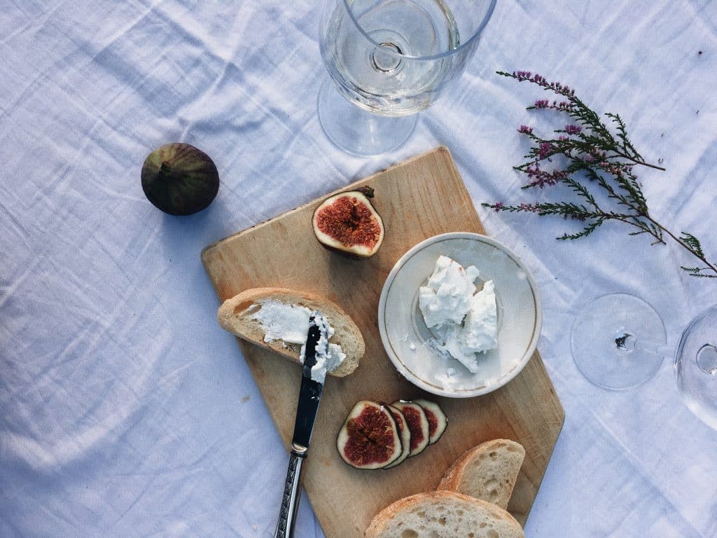
Stuffed Dates
Stuffed Dates Skip the heavy holiday hams and roasts. If you're cruising over the holidays, switch it up. Plan a...
Read moreDetails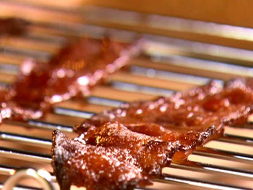
Billionaires Bacon
Billionaires Bacon Skip the heavy holiday hams and roasts. If you're cruising over the holidays, switch it up. Plan a festive...
Read moreDetails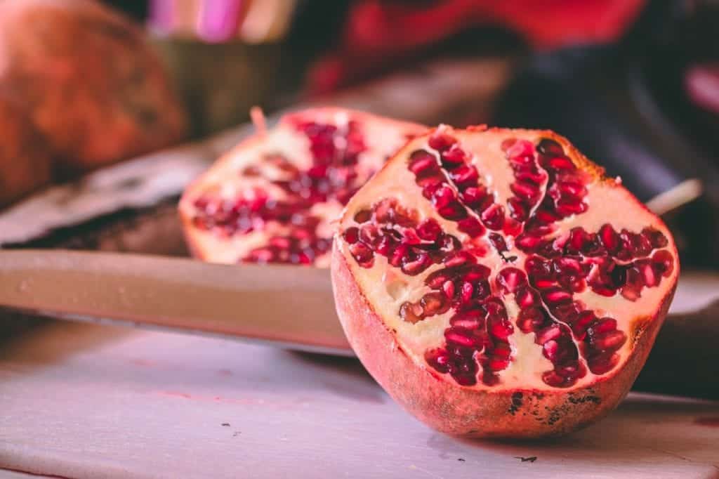
Pomegranate Champagne Cocktail
Skip the heavy holiday hams and roasts. If you're cruising over the holidays, switch it up. Plan a festive champagne...
Read moreDetails
Deepwater Horizon: Eight Years Later
Has the Gulf of Mexico recovered from the Deepwater Horizon disaster? The Deepwater Horizon oil rig, located 42 miles off...
Read moreDetails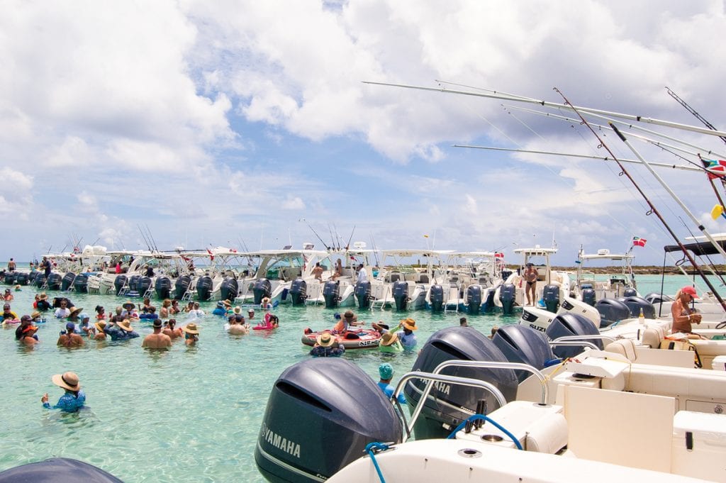
World Cat Rendezvous
The World Cat Rendezvous was a blast in Bimini. The Bahamas, especially Bimini, is so close off the coast of...
Read moreDetails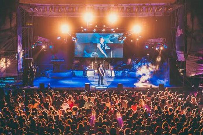
Music Festivals You Can Cruise To
2019 Music Festivals You Can Cruise To Here are some of the music festivals you can cruise to in 2019....
Read moreDetails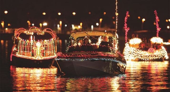
Holiday Boat Parades
Holiday Boat Parades 2018 One of the best parts of the season? Holiday Boat Parades. Check out a parade near...
Read moreDetails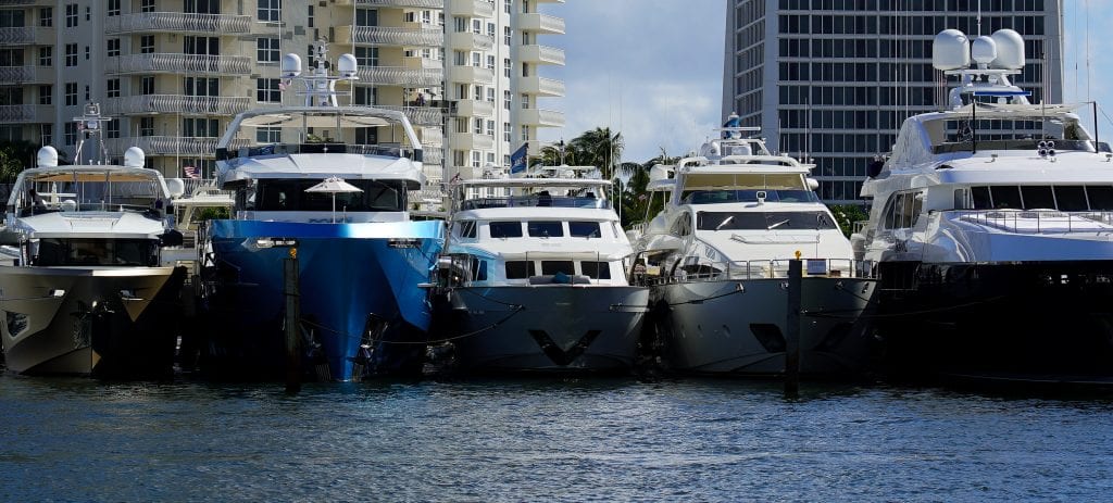
Sights From FLIBS
Did you make it to the Fort Lauderdale International Boat Show? There were some serious boats, some shiny electronics, and...
Read moreDetails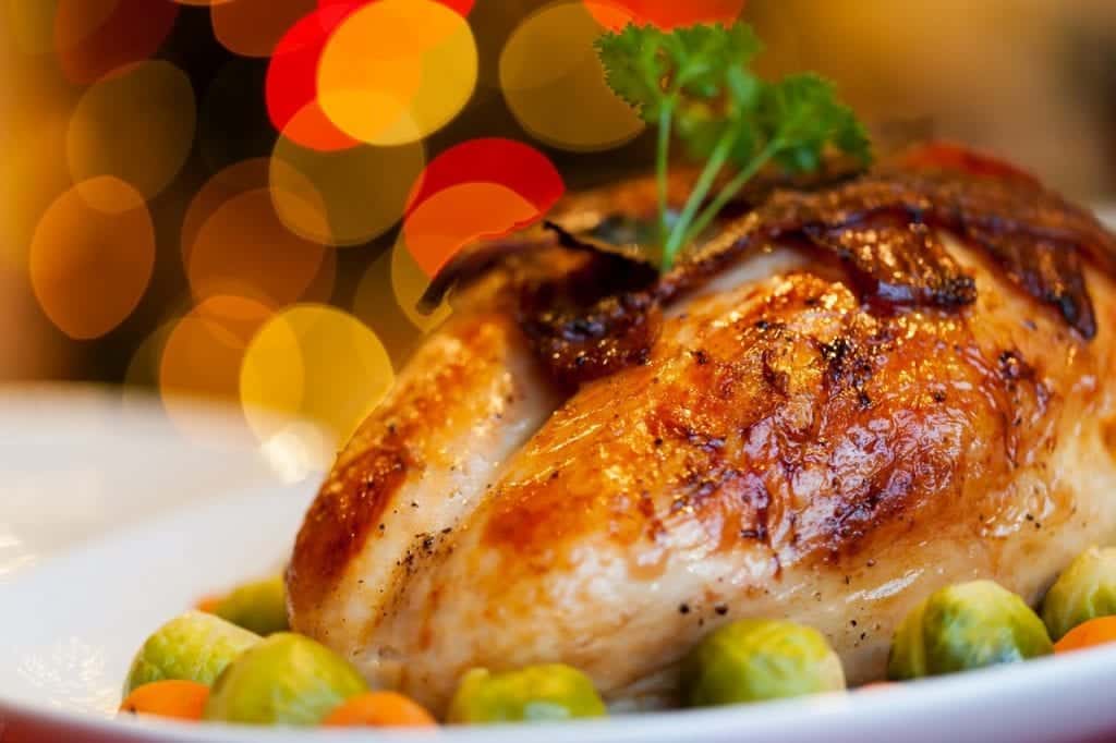
Grilled Prosciutto-Wrapped Turkey Breast
Grilled Prosciutto-Wrapped Turkey Breast Cruising during Thanksgiving? You can skip the full bird this year, too much work, too much...
Read moreDetails
Cranberry Spritz
Cranberry Spritz Cruising during Thanksgiving? You certainly don't have to miss out on the feast! If you happen to be...
Read moreDetails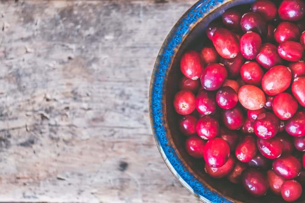
Cranberry Vanilla Cake
Cranberry Vanilla Cake Cruising during Thanksgiving? You certainly don't have to miss out on the feast! If you happen to...
Read moreDetails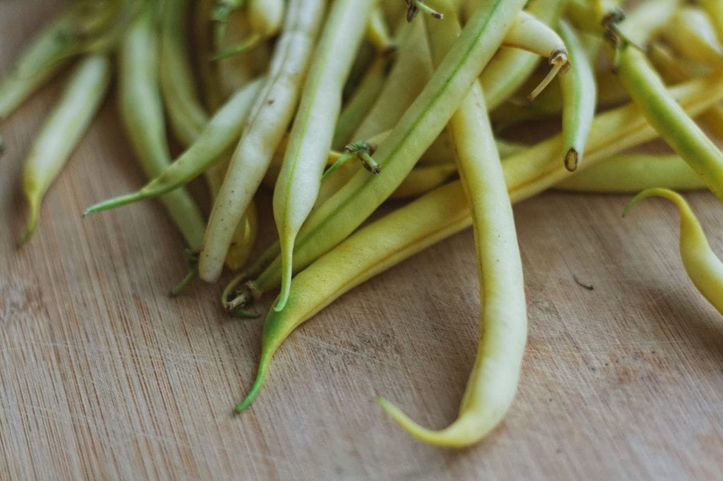
Green Beans Amandine
Green Beans Amandine This simple but elegant dish is one the is a consistent crowd pleaser. Might have to do with the...
Read moreDetails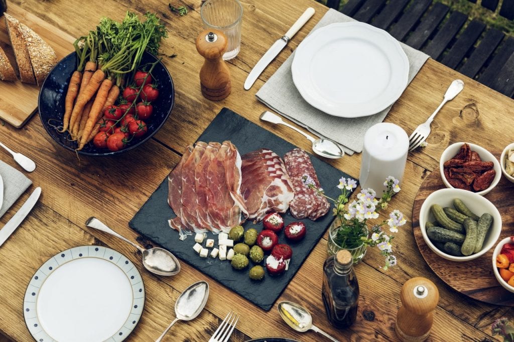
Relish and Liptaur Cheese Tray
Relish and Liptaur Cheese Tray Cruising during Thanksgiving? You certainly don't have to miss out on the feast! If you...
Read moreDetails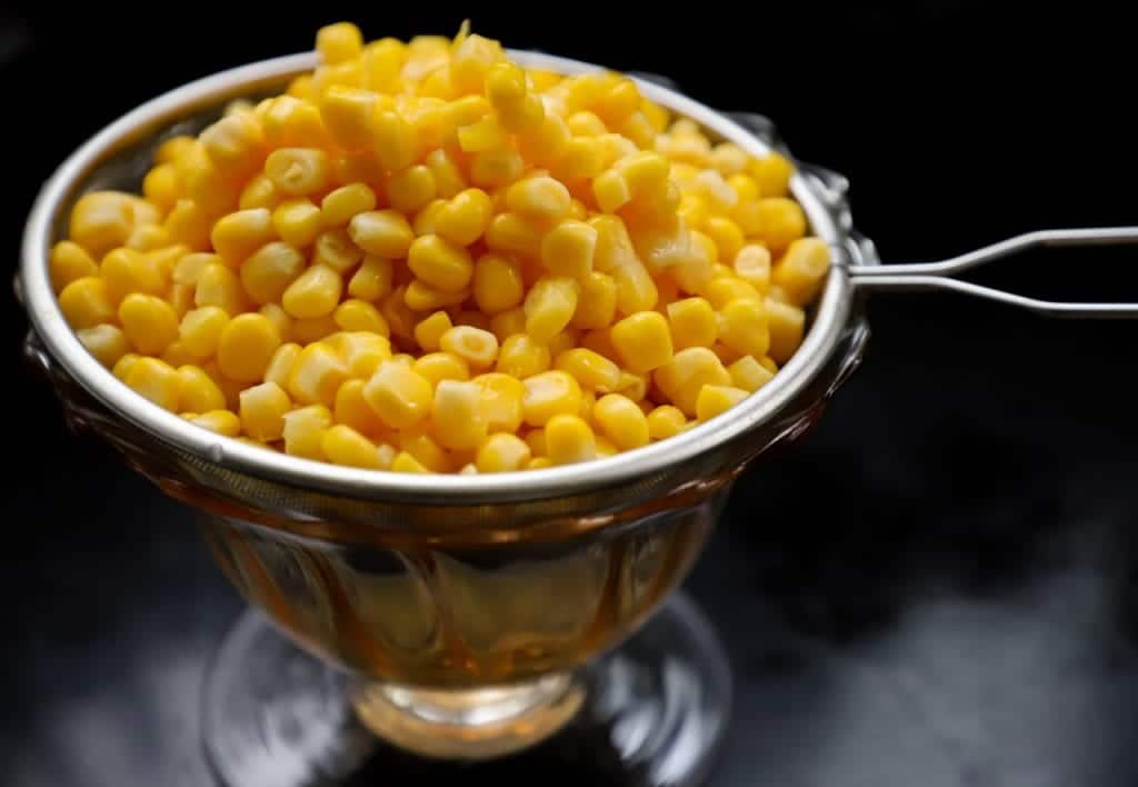
Corn Pudding
Corn Pudding Cruising during Thanksgiving? You certainly don't have to miss out on the feast! If you happen to be...
Read moreDetails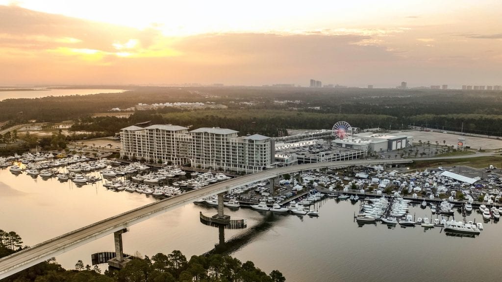
World Food Championships
World Food Championships in Orange Beach, Alabama Some 1,500 professional and home cooks compete for big money and national attention...
Read moreDetails


1591 E. Atlantic Blvd, 2nd Floor
Pompano Beach, FL 33060
Office: +1 (954) 522-5515
Contact us: info@southernboating.com