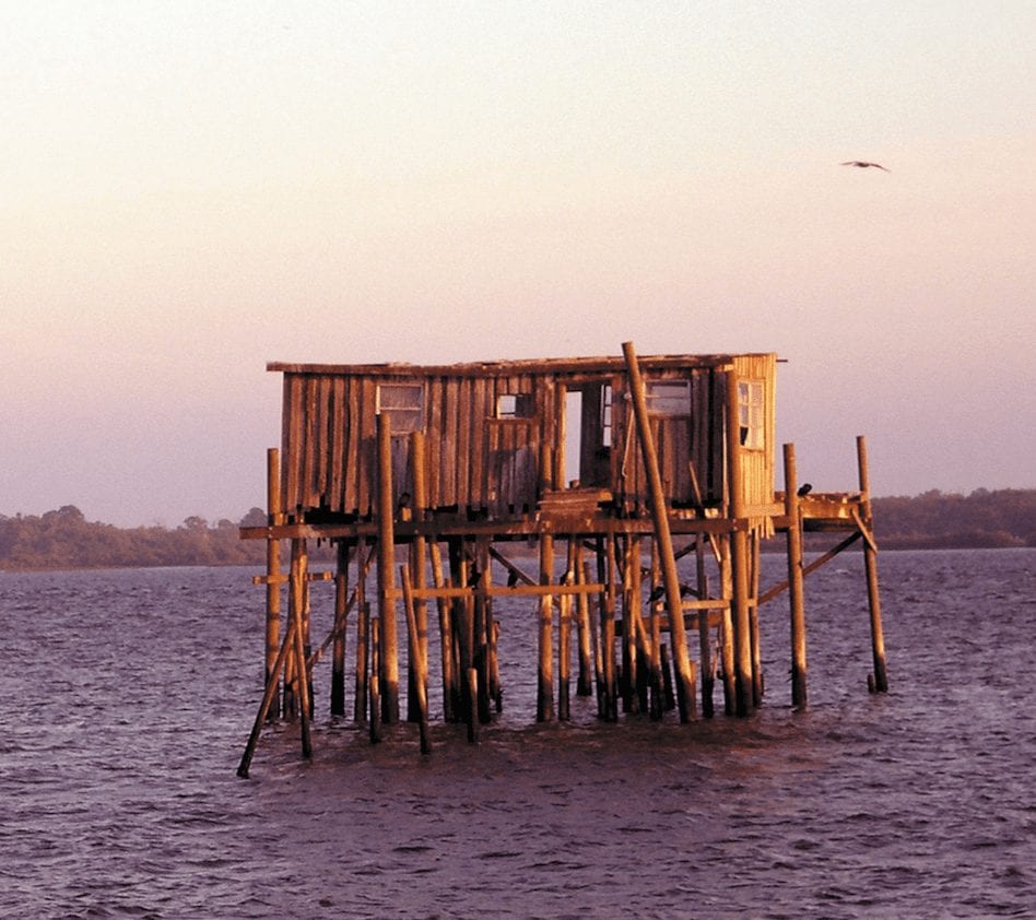
An Unconventional Exuma Itinerary
There’s more to the Exumas than meets the eye. Check out this Exuma Itinerary to see parts unknown.
Of the 60,000 visitors who travel to the Exumas annually, some 64 percent are repeat visitors. Many of these travelers crave the familiarity that comes with visiting the smaller, more rural islands in The Bahamas. The faces you encounter at the marinas, shops, and restaurants infrequently change, so many of the people you meet quickly form part of your extended family.
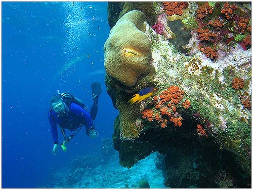
Many travelers have also discovered it isn’t necessary to have a radically different itinerary on each return visit in order to have a unique experience. When “X” marks the spot on a popular dive site, you know the wonders of the sea will bless you, but there’s no telling if you’ll see turtles one year or dolphins another. The inhabitants of the marine underworld stay the same, but encounters with each species are not guaranteed. There is a natural anticipation and excitement for each year’s surprises.
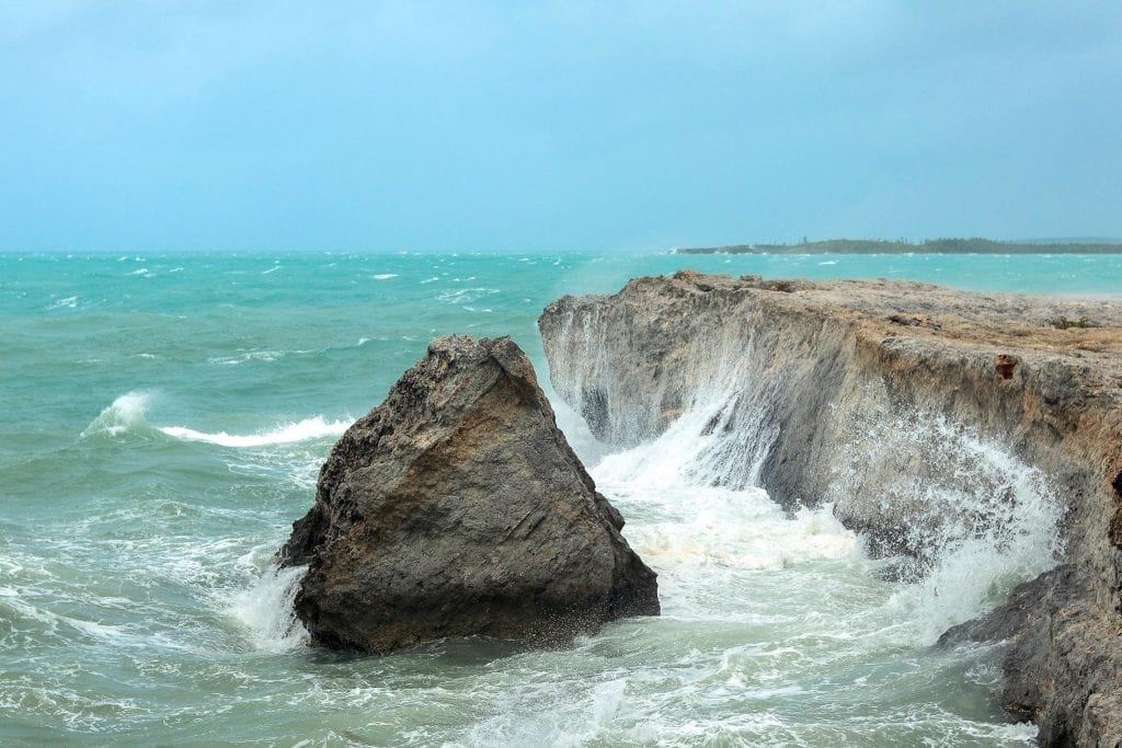
The immovable islands don’t change position, and yet their physical character varies, dictated by the strength of the tides and shape-shifting sands, the texture of the sky and the mood of the light.
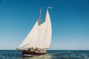
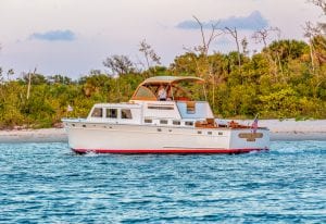
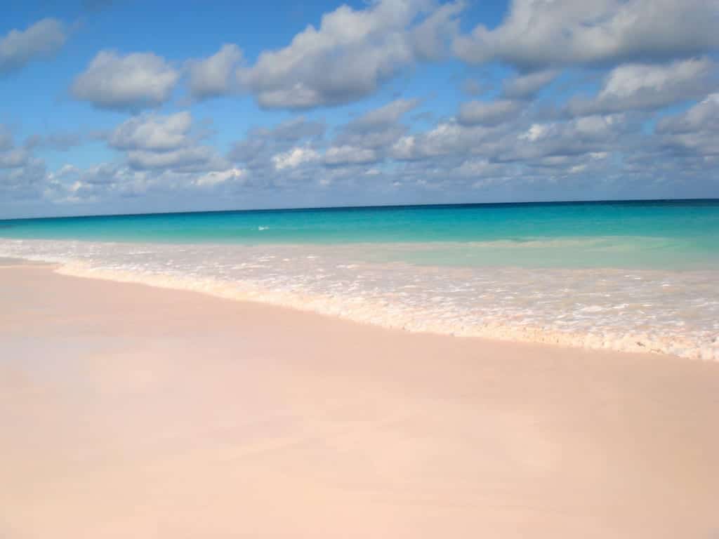
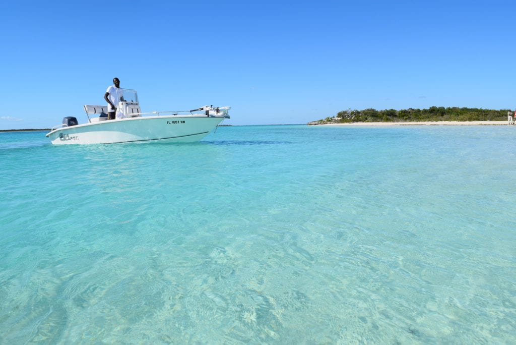
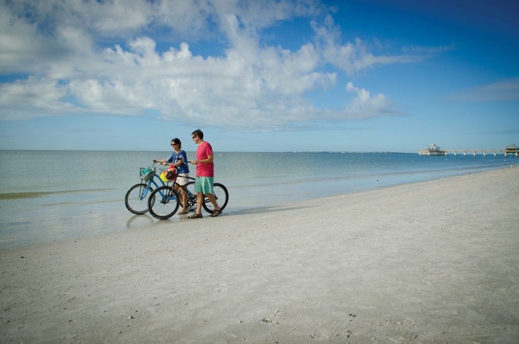
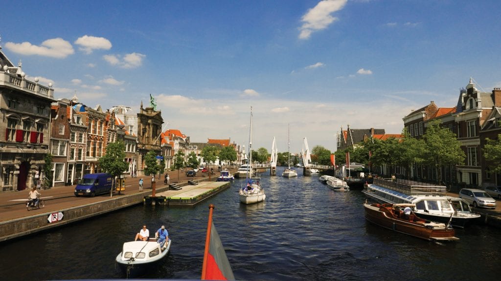
Undoubtedly, what’s common for most travelers is that the sea calls them to the Exumas. According to Ministry of Tourism statistics, even though only two percent arrive via private boat, 6 of the top 10 activities that visitors intend to engage in are marine-based: beaching, snorkeling, sailing, diving, and fishing. It is unsurprising, therefore, that 8 of the top 10 things to do on Trip Advisor are beach or boating excursions to locations such as the Exuma Cays Land and Sea Park, Pig Beach and Stocking Island. If you count yourself among the many that are called by the sea, we recommend these few common, yet offbeat things to do in your Exuma Itinerary.
Shroud Cay
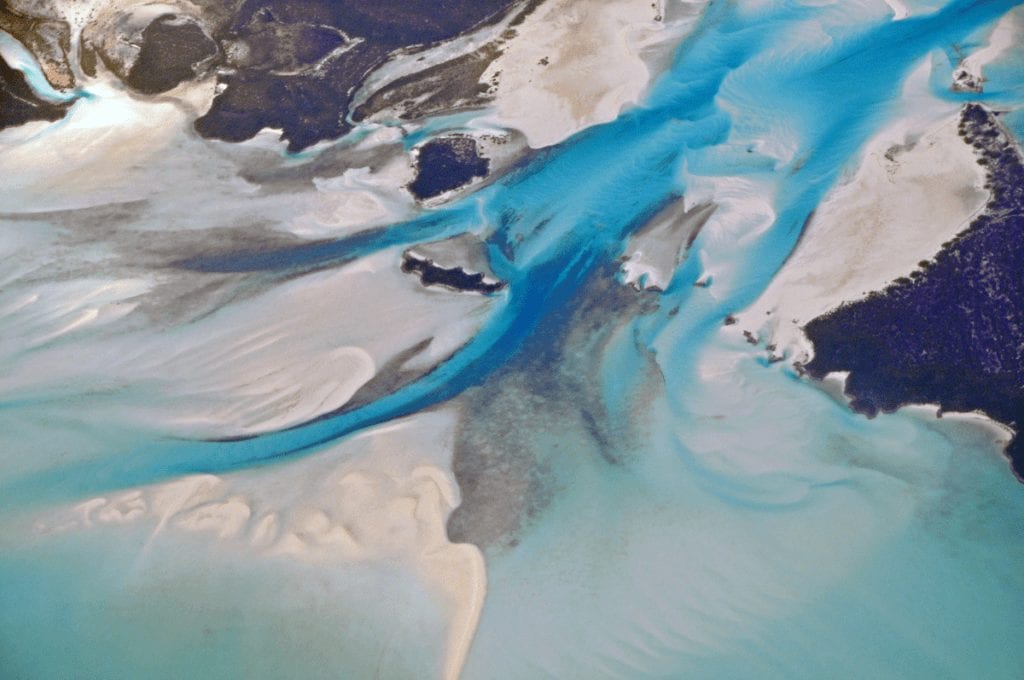
Shroud Cay is a spongy island for which the land and the sea continuously interchange places as the tides rise and fall. Protective mangrove creeks snake across the island like saltwater rivers that flow from the windward side to the banks. They are so shallow that in some places you can only explore by dinghy, kayak or wave runner. The seemingly endless beaches on this wilderness island are completely deserted and untouched, and dive sites off the northern end of the island include the Wax Cut Drift dive and Fire Coral Reef.
Warderick Wells
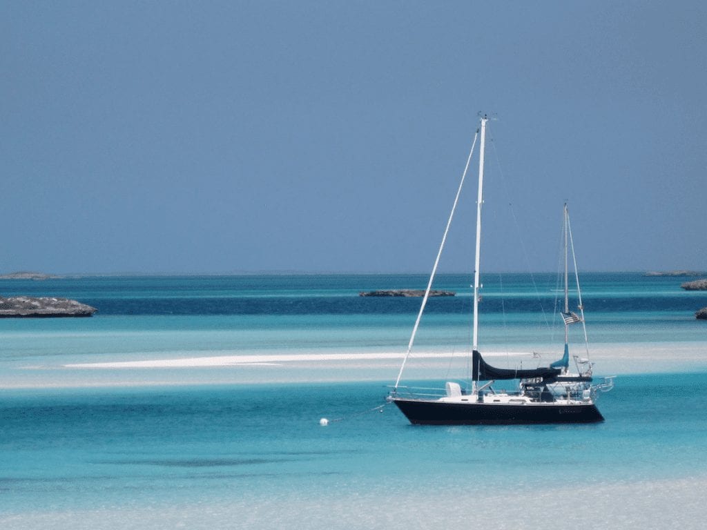
Warderick Wells is home to the Exuma Land and Sea Park headquarters. Its mooring area is visually stunning with all of the quintessential elements of the Exuma landscape. The deep channel runs parallel to the island, bordered on one side by the beach and on the other side by a sand bar. Beyond, the sea stretches to the horizon in layers of undulating white sand art mixed with deep and shallow blues.
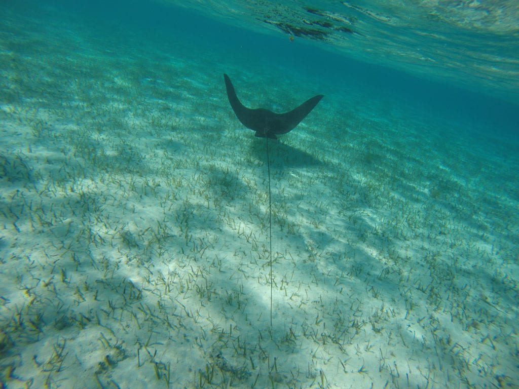
The boundaries of the park stretch from Wax Cay Cut in the north to Conch Cay Cut in the south. Warderick Wells sits roughly in the middle, with several beaches to enjoy and multiple coral gardens. Common sightings include lemon and nurse sharks, spotted eagle rays and three- to four-foot-long lobsters hiding under coral heads. All marine life is protected in the park, and anchoring is prohibited in coral reef areas. On the island, hiking trails are posted with a variety of wildlife, including many bird species and the endangered hutia rodent.
Rocky Dundas
The most well-known underwater cave in The Exumas is by far Thunderball Grotto, named after the 1965 James Bond spy film. An alternative is the Rocky Dundas, south of Little Bells Cay (Cambridge Cay) in the national park.
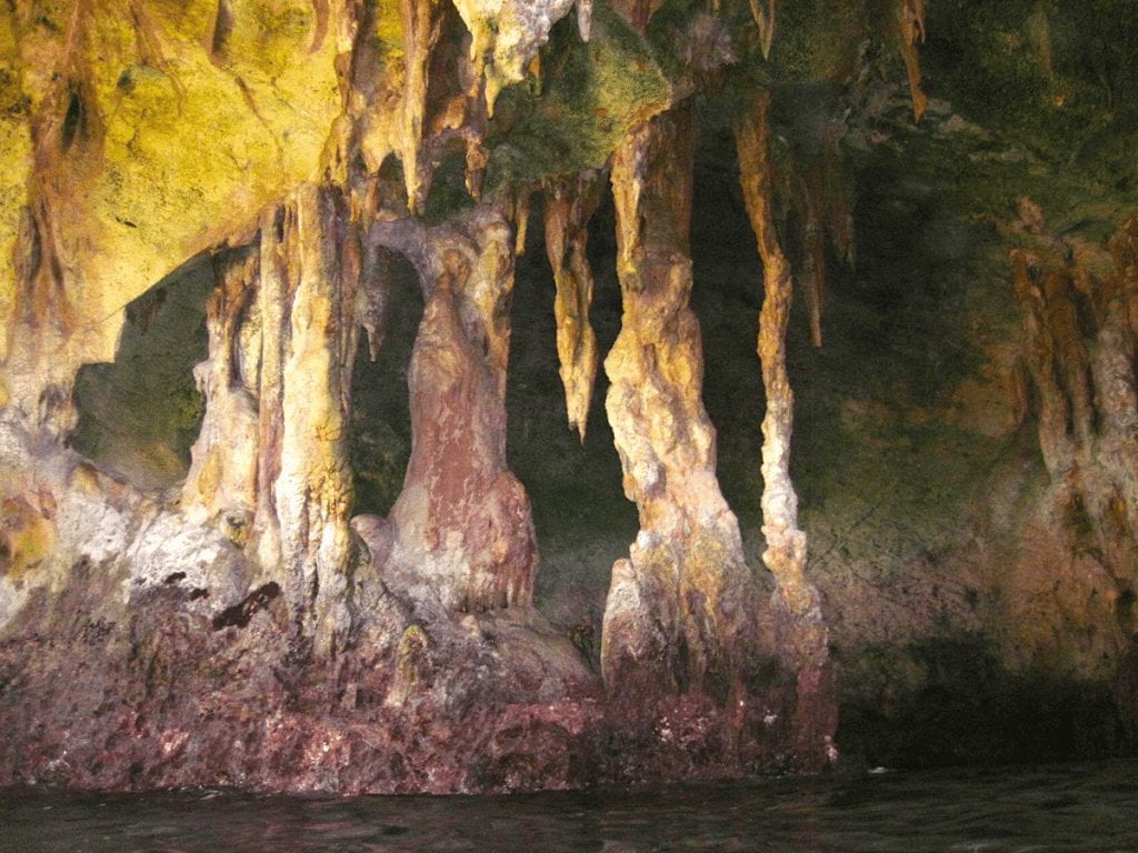
There are two caves to explore. As with Thunderball Grotto, at high tide, you have to swim underwater to get inside. At low tide, simply swim through the larger of the two caves to enter. A small, low tide beach is inside; many stalactites and stalagmites texture the rock, and fossilized beetles and the imprints of shells and coral cover the cave walls. Snorkel outside the cave where you’ll find a sandy bottom and colorful coral outcroppings, including a splendid piece of endangered Elkhorn coral, bright orange and swarmed with marine life. For large boats, a mooring site is on the northwestern side of Little Bells Cay where the caves are easily accessible by dinghy.
Norman’s Pond Cave
Many of Exuma’s best natural attractions are loved for their simplicity and mystery; Norman’s Pond Cave is one such example. The cave’s deep labyrinth of underwater passages is not visible from the surface. The cave is captivating at first glance because a glowing turquoise rock pool peeks out from a huge slit in the limestone rock. This natural saltwater bath is the entrance to the underwater lair that has only been explored by cave divers to a depth of 85 meters. The inland corner descends into the cave, but the rest of the pool is a shallow private playground for swimming and cooling down.
According to one family’s experience in the rock pool, “The water was warm and the salt content so high that it felt as if we were floating on air.” Norman’s Pond Cay is located amongst a cluster of cays to the north of Barreterre, Great Exuma.
Angelfish Blue Hole
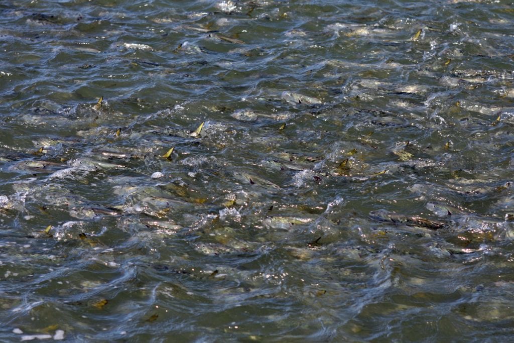
Next up on the Exuma Itinerary is Stocking Island. The island is best known for its beach bar and restaurant Chat ‘N Chill, a fun, social spot to hang with friends and family. The beach has ample space for relaxing or sport, including beach volleyball. Chat ‘N Chill will provide conch slop to hand feed stingrays on the shoreline. Beyond the beach, there are other accessible marine attractions, including Angelfish Blue Hole and Mystery Cave, snorkeling and diving sites located in an enclosed bay. The bay is frequented by a school of turtles and eagle rays. The entrance to Angelfish Blue Hole has a school of horse-eye jacks as well as blue parrotfish that guard the passage. Grunts, snapper, Atlantic spadefish, and other colorful marine life congregate around Mystery Cave.
No matter how often you’ve experienced the Exumas, there’s more out there than the meets the eye. Explore.
By Noelle Nichols Southern Boating, February 2019