Destinations
Destinations: Looking for information for your next cruising destinations? Whether you’re planning a sail in the Caribbean or summering in Newport, our destinations resources will help you plan the perfect excursion. Our expansive cache of destination information includes Monthly regional reports filled with seasonal tips and travel itineraries, Local knowledge on great boating locales, Cruiser resources—complete with photos, Insider tips, marina information and more!

Sara Becnel on Elevating Boating Life at Sandestin Baytowne Marina
Sara Becnel of Sandestin Golf and Beach Resorts redefines what it means to blend luxury boating with sportfishing culture. What...
Read moreDetails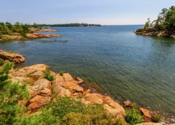
Why Georgian Bay Is One of North America’s Most Spectacular Boating Destinations
Summer in South Florida makes “hot and humid” superlatives. So, when we received an invitation to go boating on Canada’s...
Read moreDetails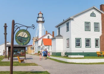
Great Lakes Shipwreck Coast: What to See and When
Michigan’s Upper Peninsula regales us with stories of pretty shorelines, sunken ships, and valorous sailors. My first shipwreck SCUBA dive...
Read moreDetails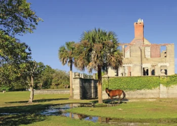
A Brief Georgia Intracoastal Waterway Guide: Basics, Tips & Hidden Stops
Cruisers appreciate the landscape of Georgia’s coast just as much as its waterways. It’s all about the curves. So said...
Read moreDetails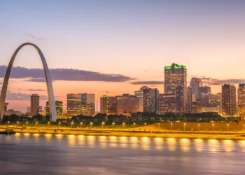
Scenic Stops Along the Mississippi River on the Great American Loop
Trip Snapshot: Grafton, IL → Paducah, KY (10 Days) The portion of the loop from Grafton, Illinois, to Paducah, Kentucky,...
Read moreDetails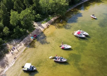
Explore the 3 Best U.S. Boating Destinations in 2025
Explore the rivers, harbors, and bays of these different, but equally rewarding, boating destinations. Also Read edit post Why Every...
Read moreDetails
Sail from St. Lucia to Grenada: A Luxury Charter You’ll Never Forget
This trip was supported by Atlas Trax, which provided satellite tracking and safety monitoring. It delivers real-time messaging and worldwide...
Read moreDetails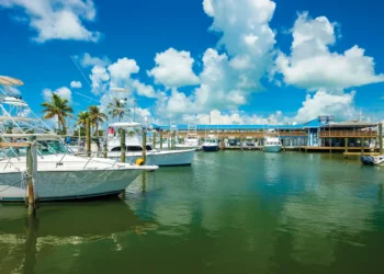
Explore the Best Fishing Locations in the Florida Keys
The island chain has many different options for the avid angler. Fishing the Florida Keys is a dream vacation for...
Read moreDetails
Top 10 Family Boating Destinations in the U.S.
Top 10 family-friendly U.S. boating destinations Summer is closing in. For northerners, that means it’s finally time to get the...
Read moreDetails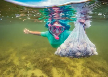
Gulf Regional Report
August The 2025 bay scallop season dates have been set. The Florida Fish and Wildlife Conservation Commission has announced the...
Read moreDetails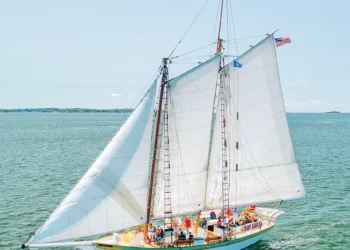
U.S. Northeast Seaboard Regional Report
August The soaring temps of August make it the ideal time to get out on—and around—the water. For Northeast boaters,...
Read moreDetails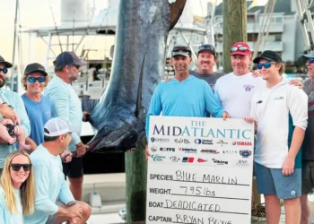
Mid-Atlantic Regional Report
August Heavy hitters return this month for the tournament’s 34th year. Offshore tournament season is in action mode this month...
Read moreDetails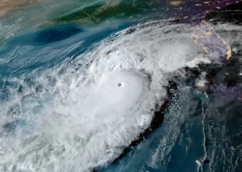
U.S. Southeast Seaboard Regional Report
August Consider how to prepare your boat as storm season heats up. Yes, it’s that time again. We're halfway into...
Read moreDetails
Bahamas Regional Report
August Water, water everywhere and not a drop to drink. Often, first-time boaters to the Bahamas are shocked at the...
Read moreDetails
Caribbean Regional Report
August Expansion plans are in place for Safe Harbor in St. Kitts. It’s been a diamond in the rough for...
Read moreDetails


1591 E. Atlantic Blvd, 2nd Floor
Pompano Beach, FL 33060
Office: +1 (954) 522-5515
Contact us: info@southernboating.com