Southern Exumas
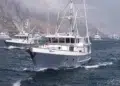
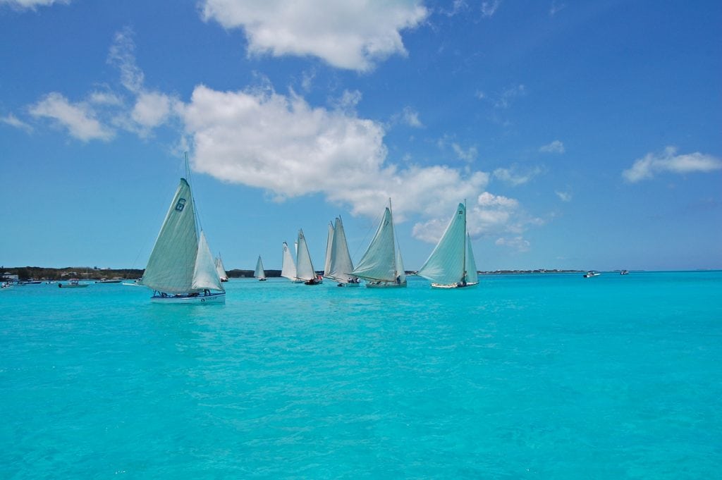
Southern Exumas An iconic place for beaching and boating in The Bahamas is a string of pearl-like islands —the Exumas. ...
Southern Exumas An iconic place for beaching and boating in The Bahamas is a string of pearl-like islands —the Exumas. ...
Winter weather in The Bahamas is a relative term, particularly for those who don't live in the southern hemisphere. "Winter" ...
IF YOU ANCHOR IN GEORGETOWN, GREAT EXUMA, without fully exploring Elizabeth Harbour, you just might have regrets, if cruising sailors ...
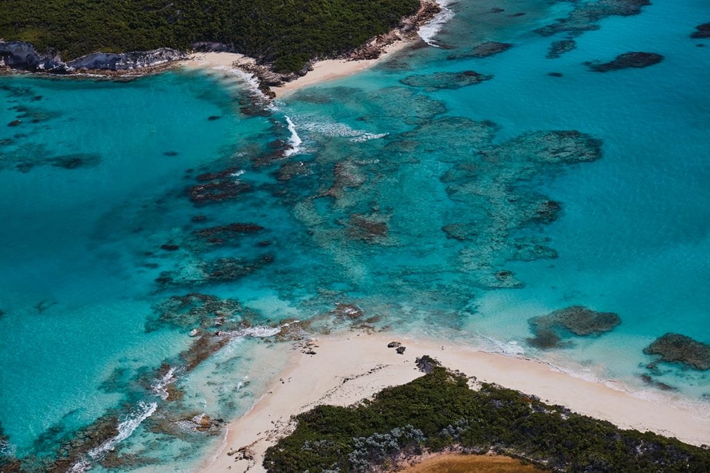
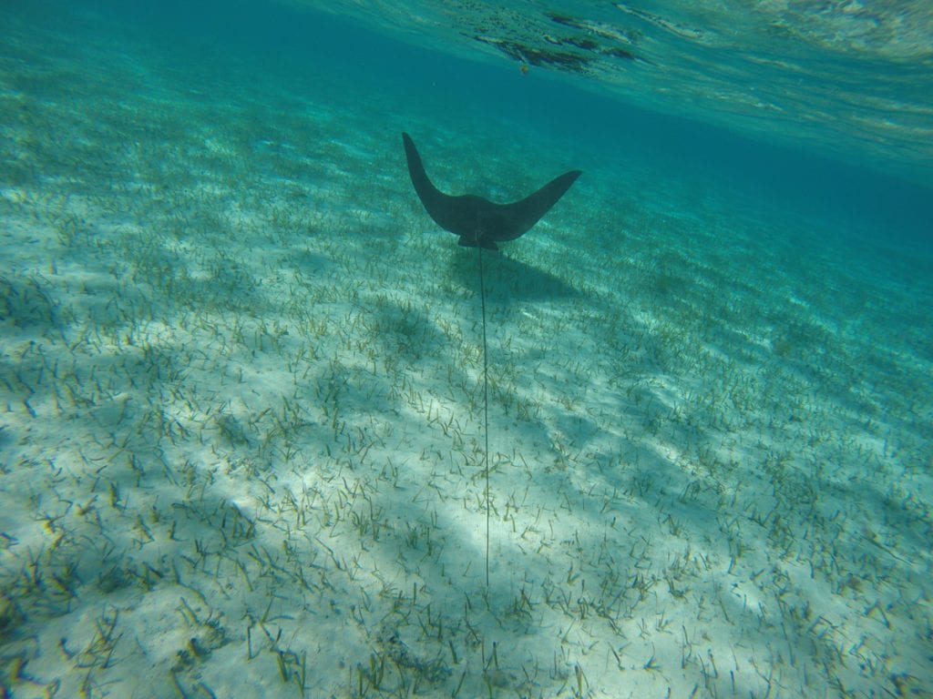
REMARKABLE FOR ITS SMALL SIZE AND LOCATION, Conception Island is an oasis of nature as it used to be throughout The Bahamas. ...
Just look at the Chart and you will know where the name came from. It may not be very imaginative, ...
Once again, the readers of Southern Exposure DELIVERED. Thank you all so much for the pictures and videos of the ...
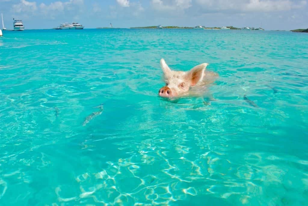
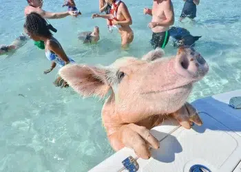
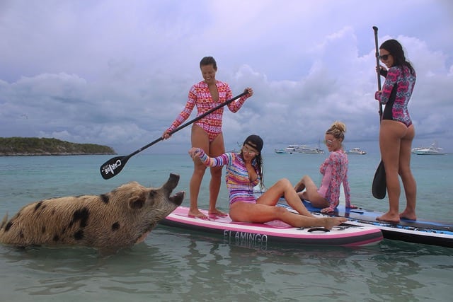
If you can't fly, swim. We couldn't resist the following video of everyone's favorite swimming pigs. If you've been to The ...
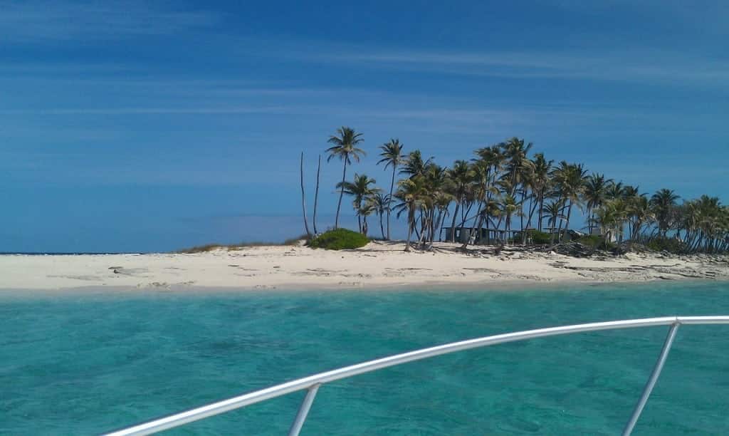
Soak in the solitude. The secret may be out on these tropical getaways, but rest assured—you’ll still feel like you’re ...
Winter may be here, but the Bahamas are still warm and buzzing. Don't despair in the winter blues-- there are ...
There are two full-service outboard shops in George Town: Minns Water Sports and Brown’s Marine. Minns is a Yamaha dealer ...
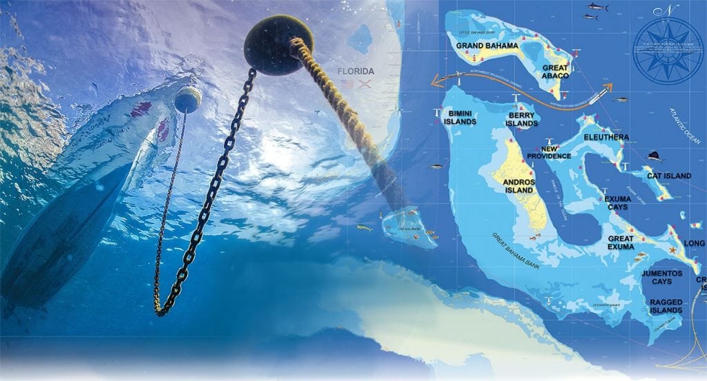
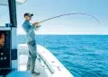
An experienced couple shares their favored routes and their tips for anchoring in the Bahamas. No matter how many times ...

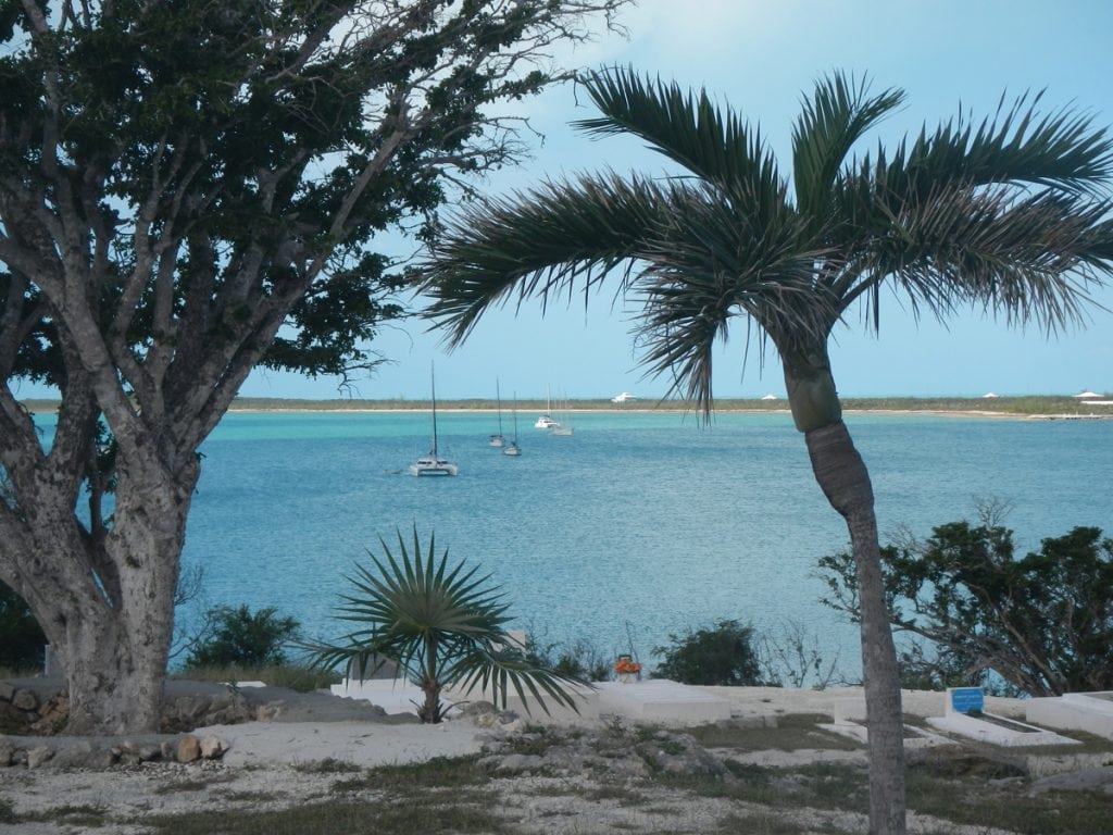
The Marina at Emerald Bay is situated amidst the turquoise waters of Great Exuma Island alongside Sandals Emerald Bay Resort. ...
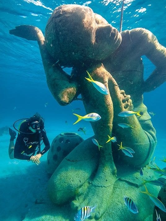
The Bahamas Reef Environment Educational Foundation (BREEF) has recently established a spectacular Coral Reef Sculpture Garden just off Clifton Bluff ...


1591 E. Atlantic Blvd, 2nd Floor
Pompano Beach, FL 33060
Office: +1 (954) 522-5515
Contact us: info@southernboating.com