
Destinations
Destinations: Looking for information for your next cruising destinations? Whether you’re planning a sail in the Caribbean or summering in Newport, our destinations resources will help you plan the perfect excursion. Our expansive cache of destination information includes Monthly regional reports filled with seasonal tips and travel itineraries, Local knowledge on great boating locales, Cruiser resources—complete with photos, Insider tips, marina information and more!
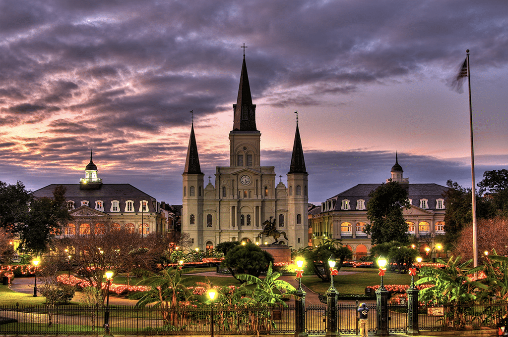
What’s on Your Holiday Calendar?
What’s on Your Holiday Calendar? ’Tis the season. Watch a lighted boat parade or light up your vessel and win...
Read moreDetails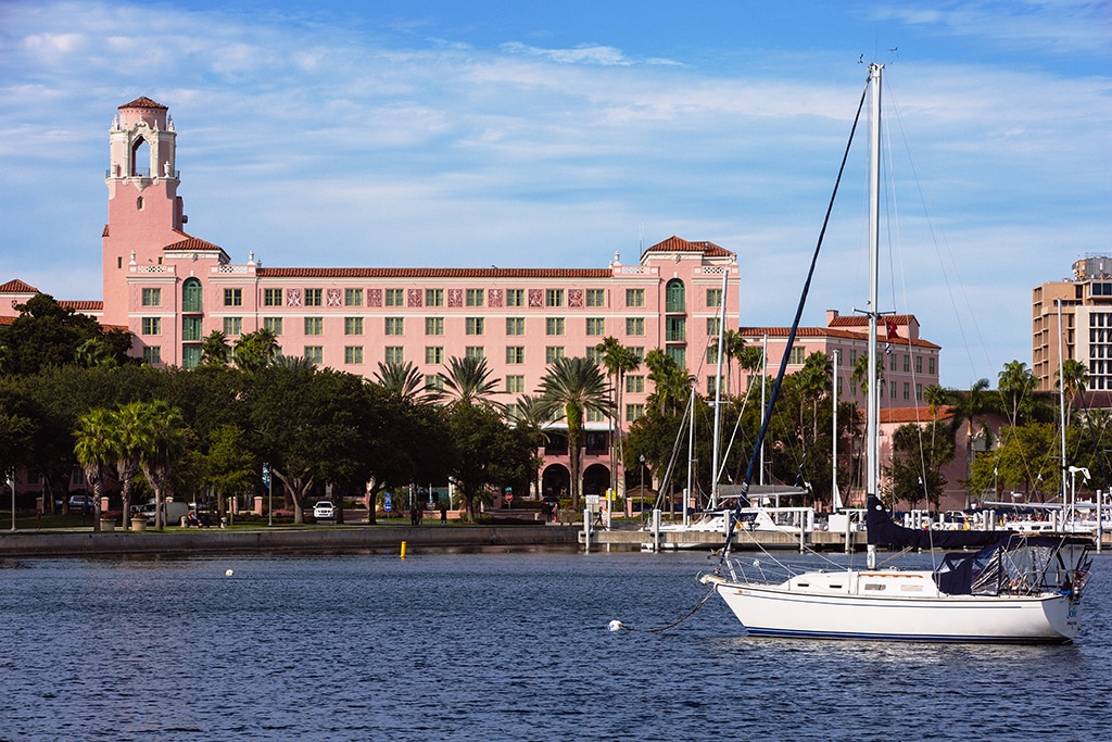
The Vinoy Renaissance St. Petersburg Resort and Golf Club
Woven Through Time Cruise over to The Vinoy Renaissance St. Petersburg Resort and Golf Club for some relaxing downtime. St....
Read moreDetails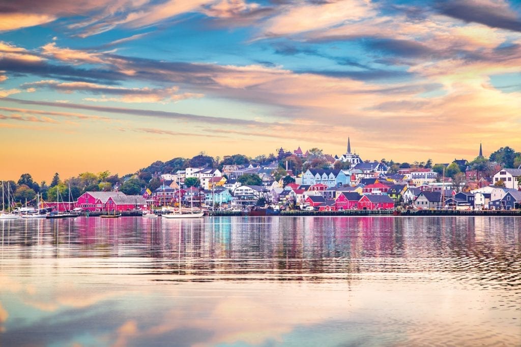
Nova Scotia
Nova Scotia Push your boundaries and head east from Maine’s northern coast to discover the rugged charm of one of...
Read moreDetails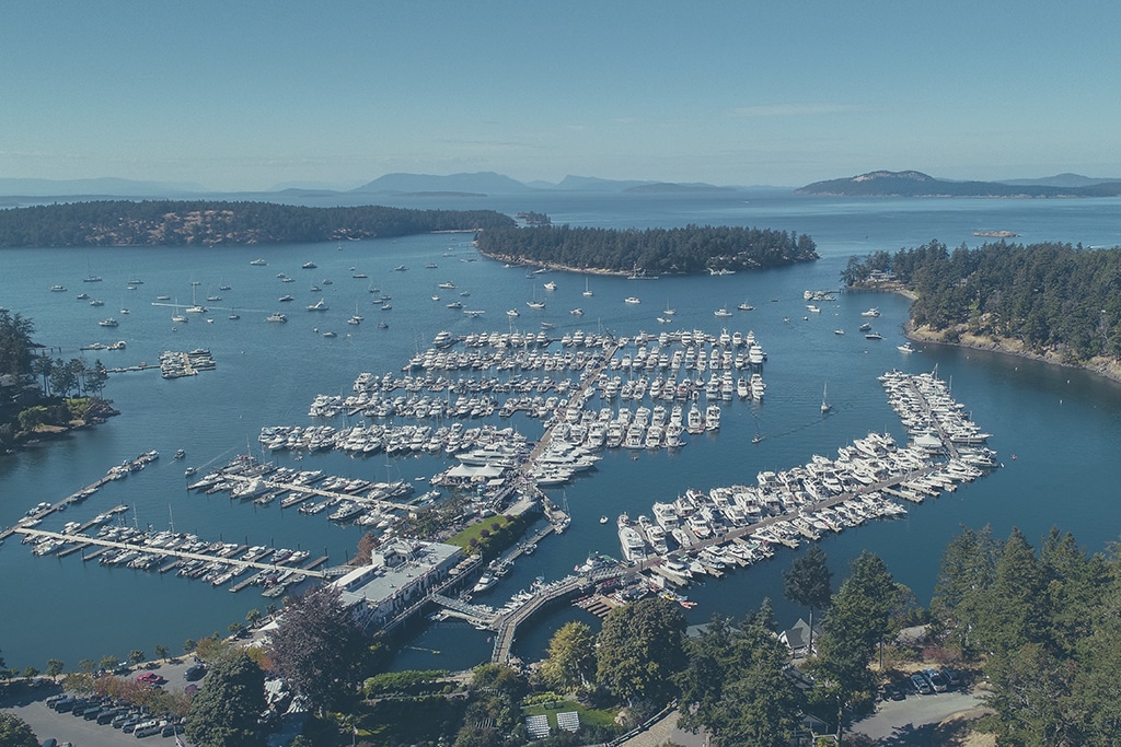
Island Time in the Pacific Northwest
Island Time in the Pacific Northwest The incredible scenery of the San Juan and Gulf islands in the Pacific Northwest...
Read moreDetails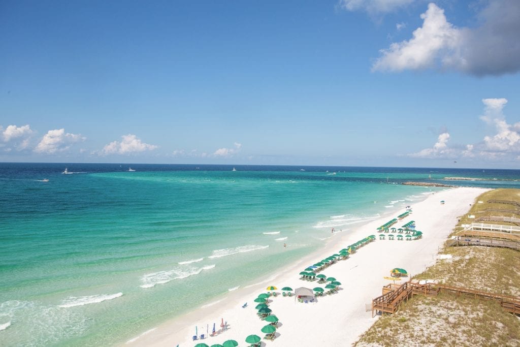
Henderson Beach Resort
Henderson Beach Resort At Henderson Beach Resort, located on Florida’s Emerald Coast, lie legendary white-sand beaches next to emerald-green water,and a...
Read moreDetails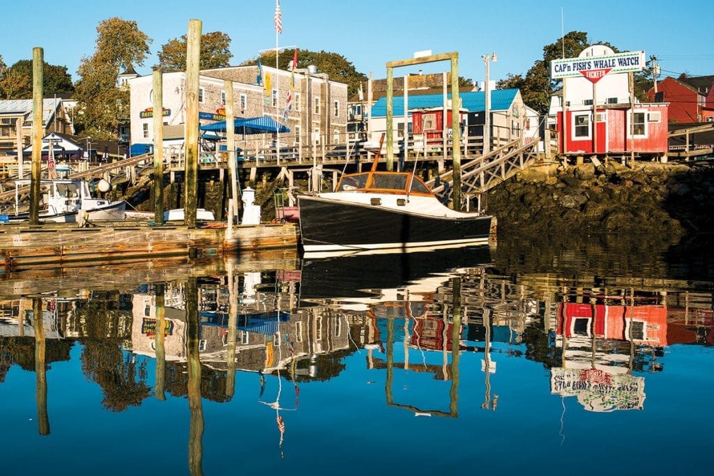
Maine Cruising Itinerary
Maine Cruising Itinerary Take a week to explore the coastal life from Portland to Camden with this Maine cruising itinerary....
Read moreDetails
Boating on Lake Superior
Boating on Lake Superior Save the best for last on your Great Loop journey. Try your hand at boating on...
Read moreDetails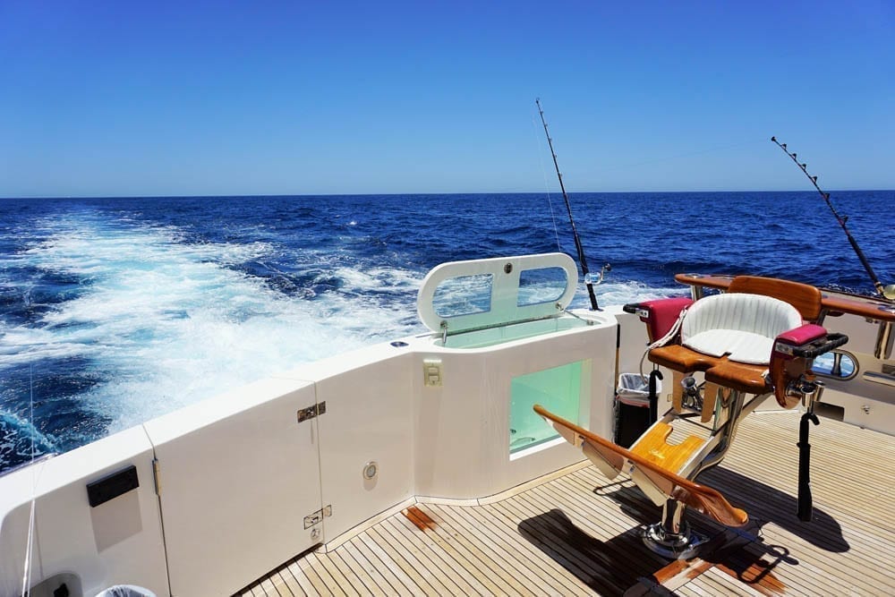
Top 5 Fishing Spots in the Southeast
Top 5 Fishing Spots in the Southeast What’s better than a weekend boating and fishing trip? Not much in our...
Read moreDetails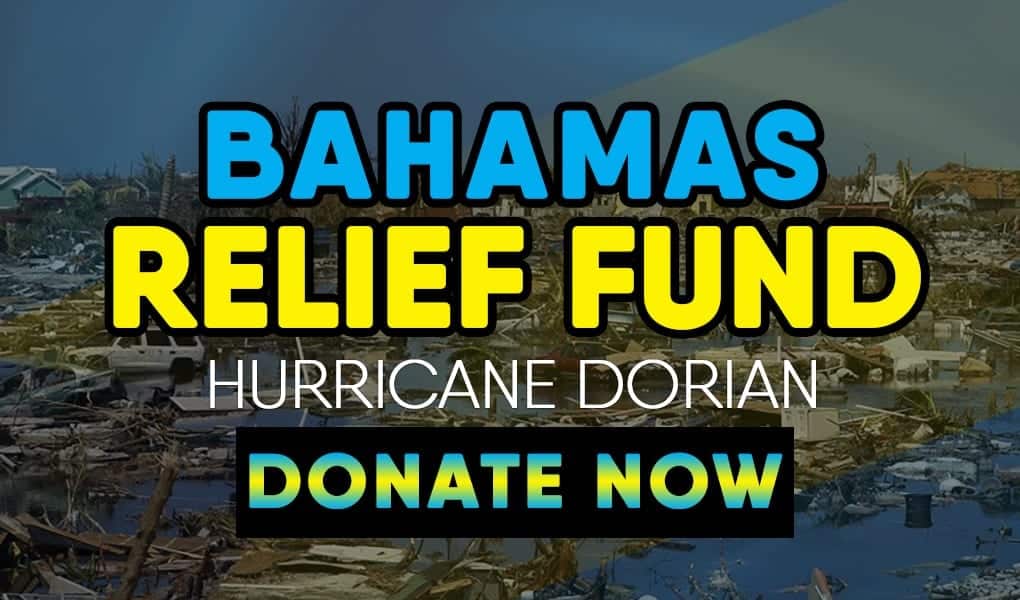
Help the Bahamas
How to help the Bahamas after Hurricane Dorian One of the most powerful hurricanes ever recorded, Hurricane Dorian, has devastated...
Read moreDetails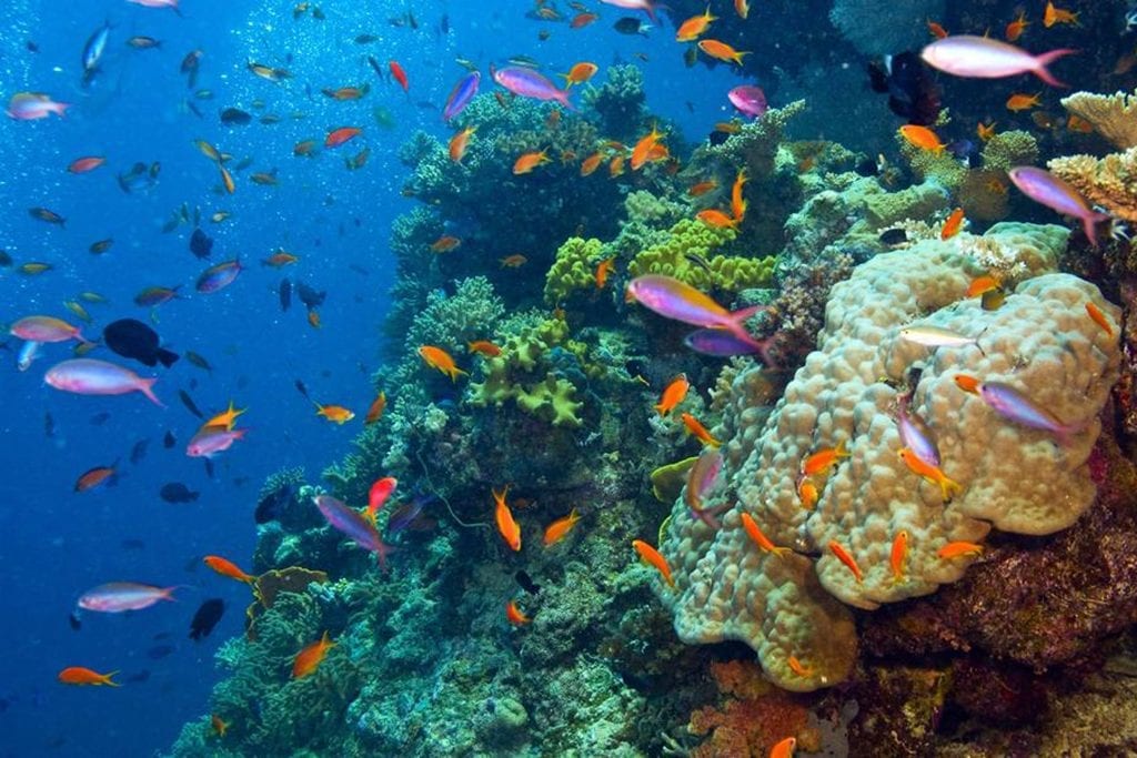
Marine Education
Marine Education Boaters know the value of healthy oceans better than almost anyone. Whether your interest is fishing or cruising,...
Read moreDetails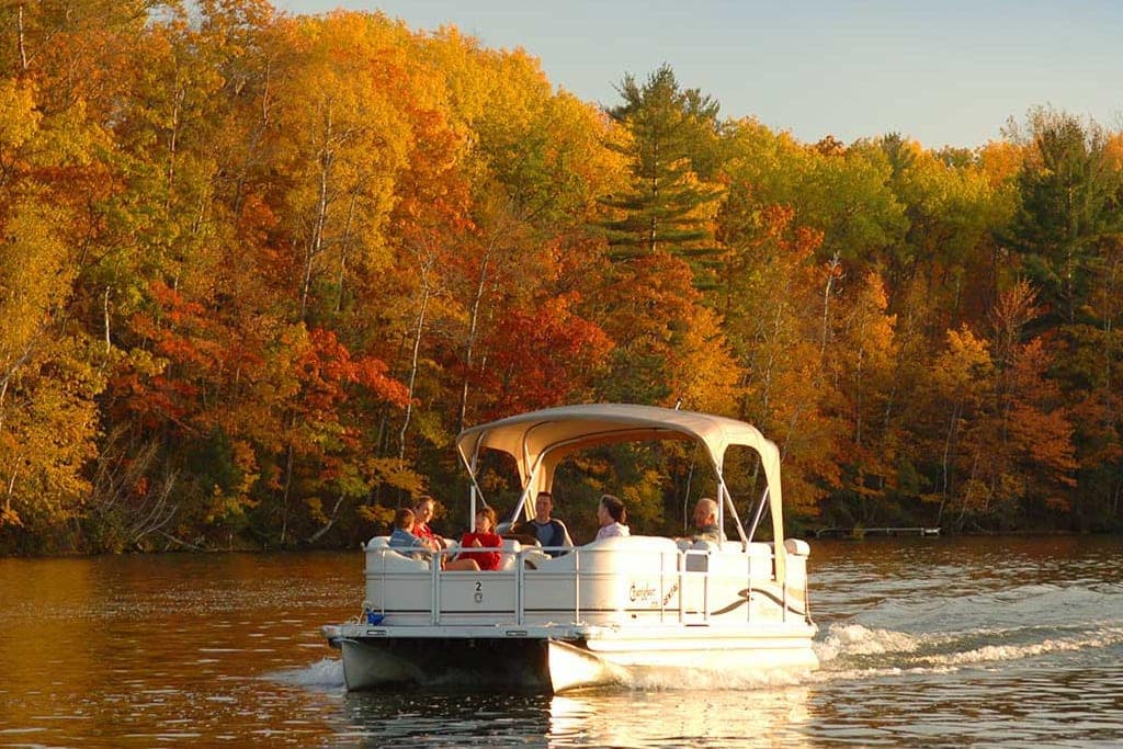
Fall Boating
Fall Boating Experience Fall Boating in the Northeast Cool. Crisp. Clean. You have to love fall boating in the Northeast,...
Read moreDetails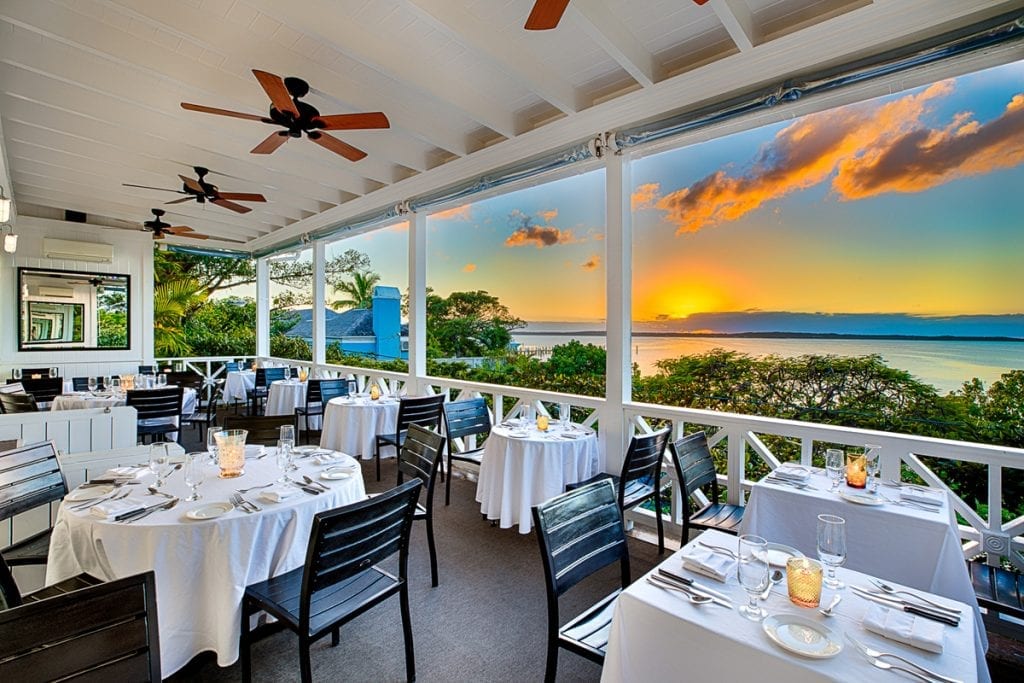
Dining in The Bahamas
Dining in The Bahamas Dining in The Bahamas can be anything from casual to high-end and everything in between. Dining...
Read moreDetails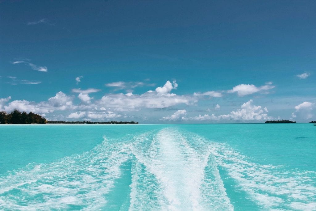
Changes for Bahamas Boating
Changes for Bahamas Boating New changes will have implications for boaters The Bahamian Government presented its annual budget for the...
Read moreDetails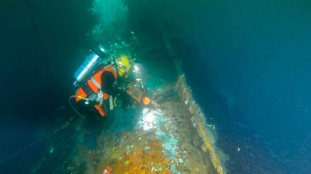
The Coimbra’s Oil Issue
The Coimbra's Oil Issue The Coimbra make have sunk, but it created a haven for fish. The early morning hours...
Read moreDetails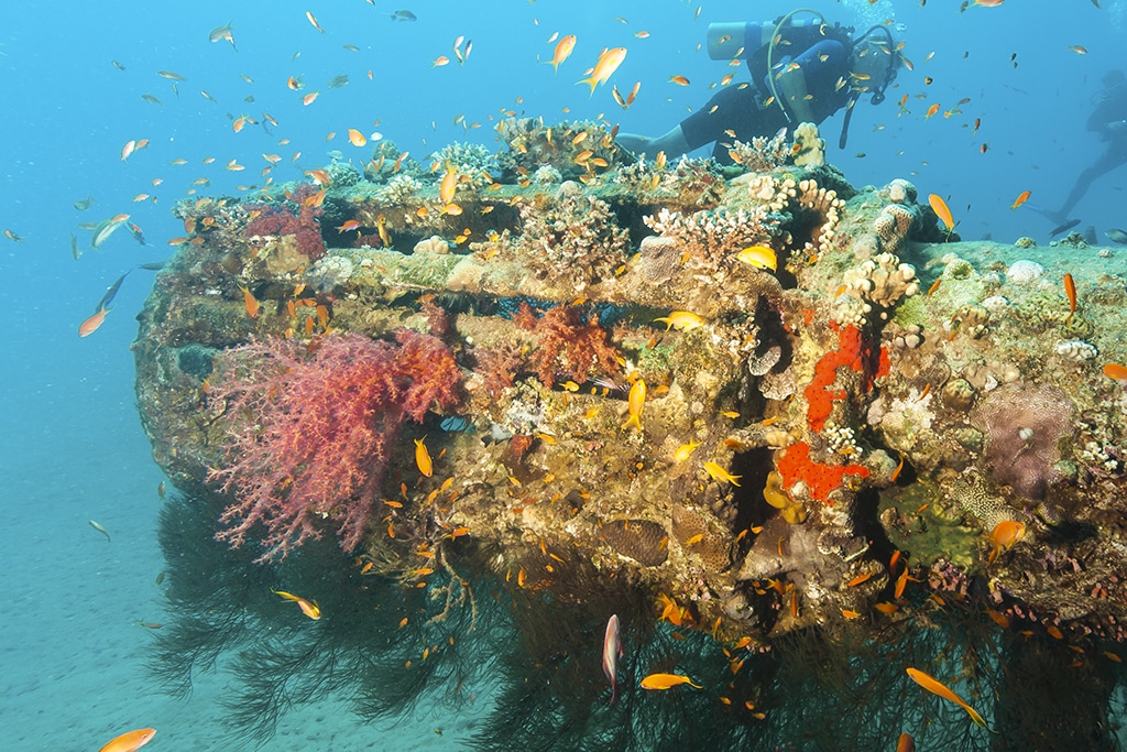
Artificial Reefs in New York
Artificial Reefs in New York New York is growing its footprint of artificial reefs. But the state needs help. In...
Read moreDetails

1591 E. Atlantic Blvd, 2nd Floor
Pompano Beach, FL 33060
Office: +1 (954) 522-5515
Fax: +1 (954) 522-2260
Contact us: info@southernboating.com