
Sea Watch
The state of our oceans, rivers and lakes. Southern Boating cares deeply about preserving the environment and the oceans we enjoy so much. Sea Watch has updates on reefs, national parks, conservation, climate and more.
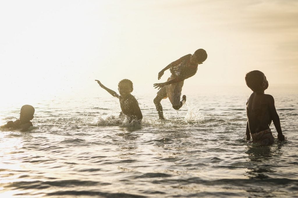
Rip Currents
Rip Currents: Life or Death If you’ve heard warnings of possible rip currents, take them seriously! Last year in the...
Read moreDetails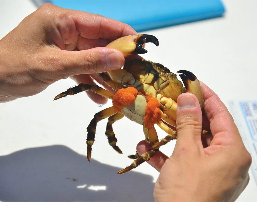
The Delicacy Dilemma: Stone Crabs and Ocean Acidification
Stone crabs may face challenges from ocean acidification. The first study on Florida stone crabs and ocean acidification was published...
Read moreDetails
Beware of Thunderstorms
Thunderstorms can be dangerous. Here's what you need to know to reduce your risk. Although thunderstorms can occur any time...
Read moreDetails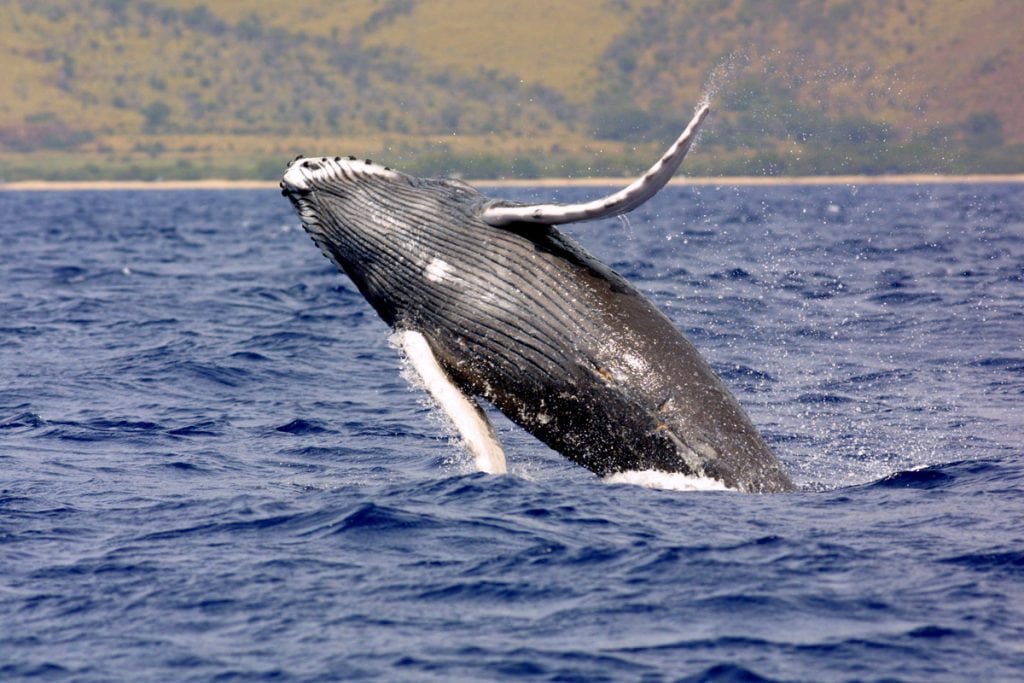
Underwater Sound
Humans can't hear underwater sound in the same way that whales or other creatures can. Sound is an integral part...
Read moreDetails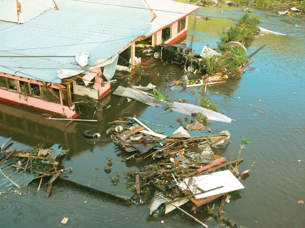
The Tsunami Threat
Due to its sheer magnitude and velocity, the tsunami is one of the most destructive forces in nature. From the...
Read moreDetails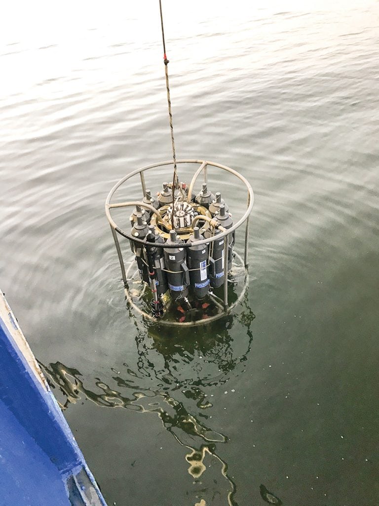
The Dead Zones
“The Dead Zone” may sound like the title to an old horror movie, but these barren ocean wastelands are very...
Read moreDetails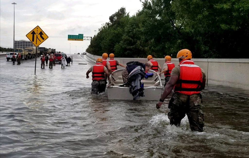
Eddies in the Ocean
Put a Spin on It! Eddies in the Ocean effect more than just the water. For many years, oceanic circulations...
Read moreDetails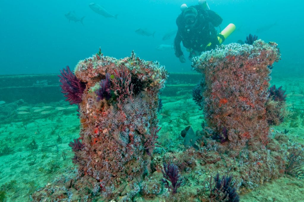
Artificial Reef: Nature’s Best Friend?
Time will tell whether artificial reefs can replace some of the millions of acres of reefs that have already been lost....
Read moreDetails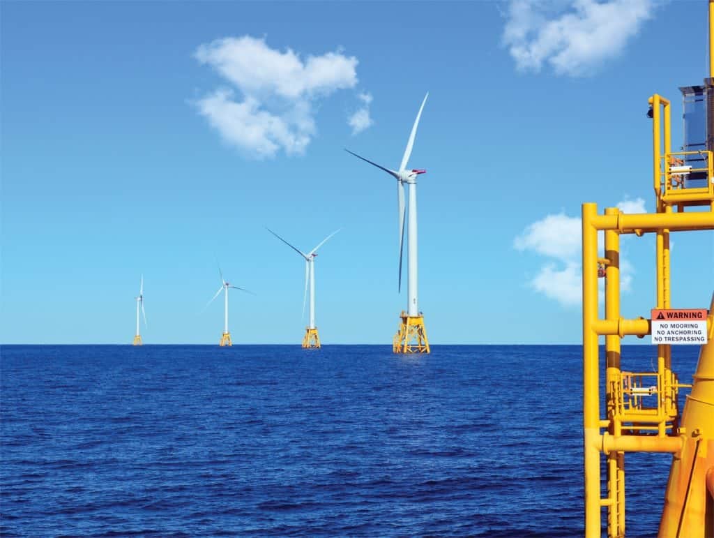
Wind Power
Harvesting the Wind: Offshore wind power farms come to America. Man has been utilizing wind power for thousands of years. Sailboats date...
Read moreDetails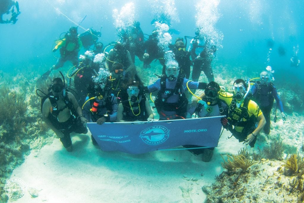
Wounded Veterans help with Coral Restoration
On a Mission: Heroes plant 500 corals in a single day assist in coral restoration. Stellar scientists, hero veterans and...
Read moreDetails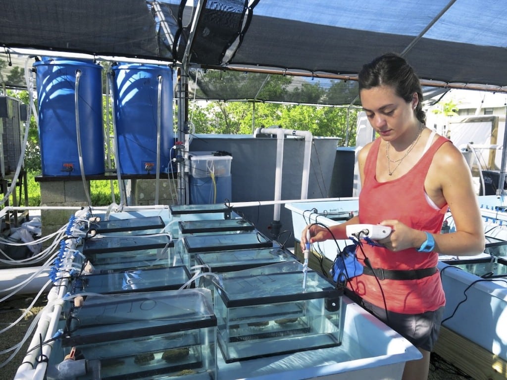
Are Acidifying Oceans Slowing Coral Disease?
Blackout Black Band Could acidifying oceans actually slow down coral disease? Coral reefs face intensifying struggles as greenhouse gases warm...
Read moreDetails
Sustainable Seafood
Sustainable seafood supports a healthy marine ecosystem with better food options. Many of us flock to the coasts during the...
Read moreDetailsSeagrass Struggling Years After Heatwave
Seagrass Struggling to Revive Massive seagrass beds in Western Australia’s Shark Bay—a UNESCO World Heritage Site—haven’t recovered much from the...
Read moreDetails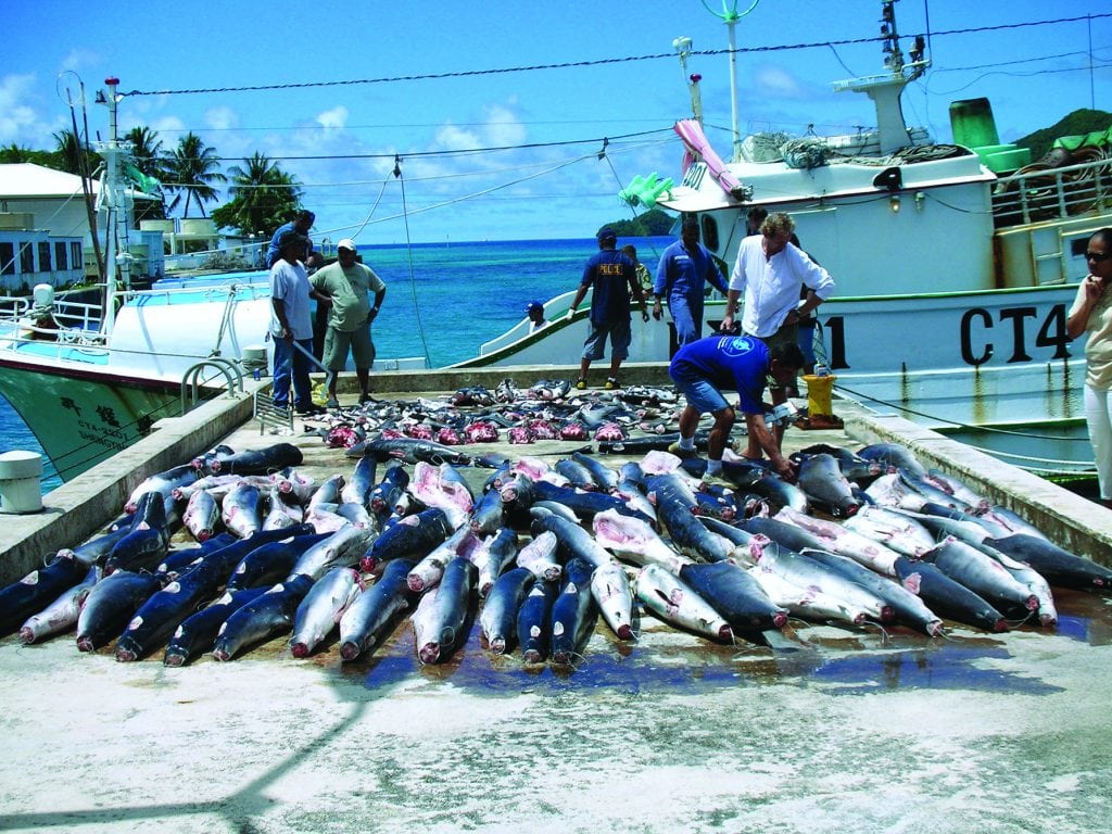
Global Fishing Watch
Private citizens now have the means to take action against illegal fishing. Our oceans are under siege from a variety...
Read moreDetails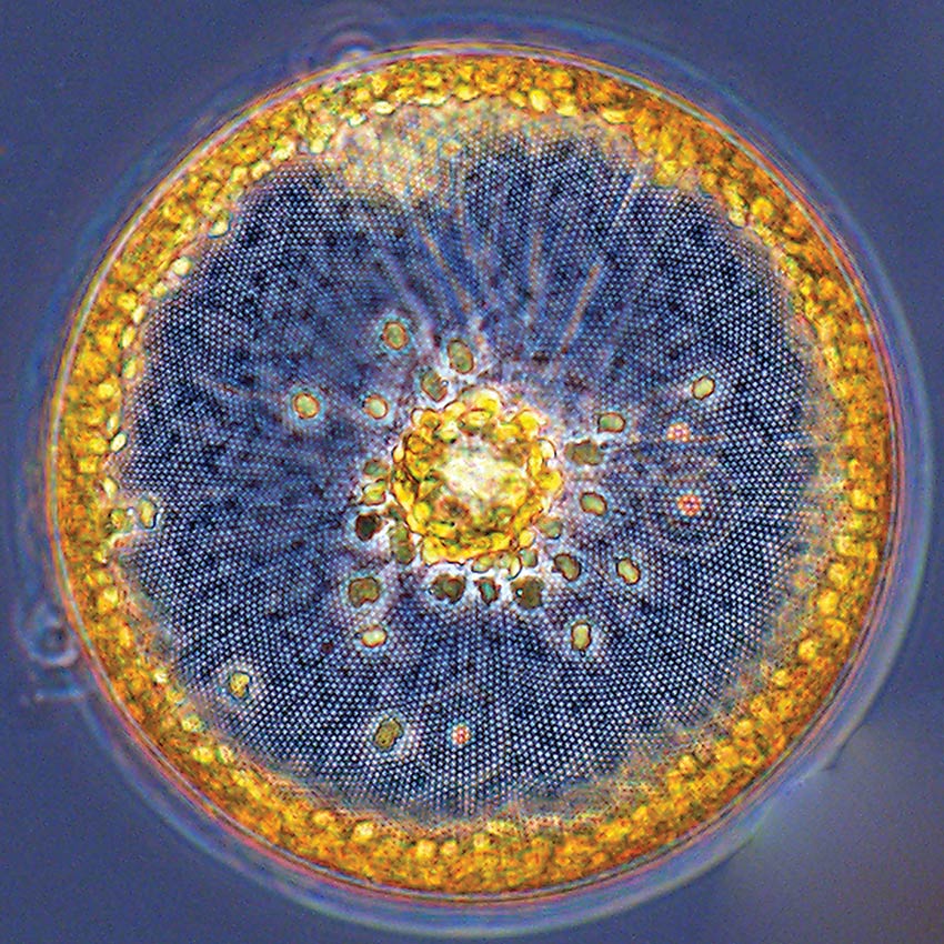
Tiny Giants of the Sea
Nearly invisible marine microbes play a vital role in life at sea and on land. Stories of mysterious creatures lurking deep...
Read moreDetails

1591 E. Atlantic Blvd, 2nd Floor
Pompano Beach, FL 33060
Office: +1 (954) 522-5515
Fax: +1 (954) 522-2260
Contact us: info@southernboating.com