

Just look at the Chart and you will know where the name came from. It may not be very imaginative, but Long Island is certainly descriptive for this, one of the most easily accessible of the Out Islands.
Nearly 80 miles long from northwest to southeast and only a few miles wide, Long Island seems to stretch on forever. The banks on the west side make up an attractive and varied cruising ground for moderate draft vessels. They can be reached from Exuma Sound to the north or across the bank from the George Town area.
Our Resources for Long Island, The Bahamas:
Where to Cruise in Long Island
Long Island’s Northern Shores
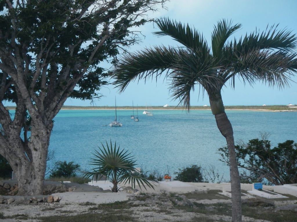
About Long Island, The Bahamas:
The island is about 80 miles long and 4 miles wide at its widest point. The Tropic of Cancer runs through the northern quarter of the island.
The northeast side of is noted for its steep rocky headlands, while the southwest coast is noted for its broad white beaches with soft sand. The terrain ranges widely throughout the island, including white flat expanses from which salt is extracted, swamplands, beaches, and sloping (in the north) and low (in the south) hills.
It is particularly noted for its caves, which have played a major role in the island’s history. Dean’s Blue Hole, located west of Clarence Town, is the world’s second deepest underwater sinkhole, dropping to a depth of about 200 meters, making it more than double the depth of most other large holes.