Where to Cruise in Long Island
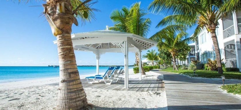
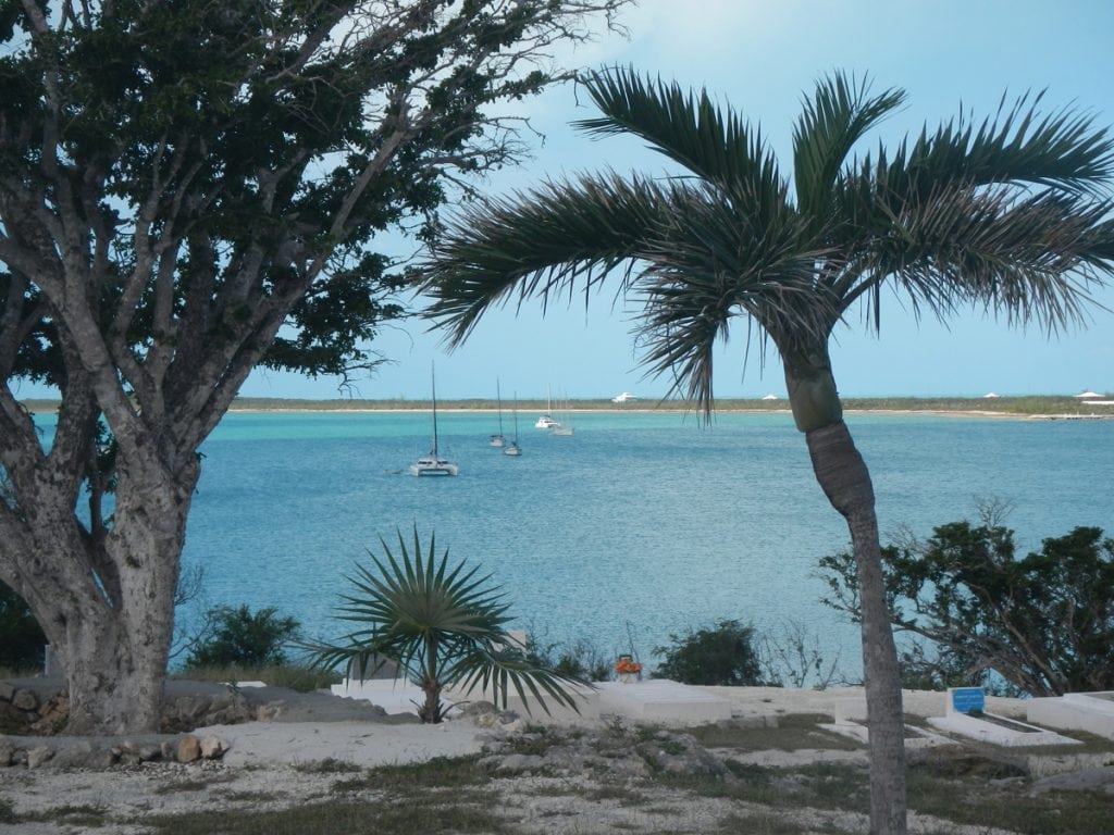
You'll find there are several lee anchorages when you cruise in Long Island. There are the usual easterly trade winds ...
You'll find there are several lee anchorages when you cruise in Long Island. There are the usual easterly trade winds ...
Just look at the Chart and you will know where the name came from. It may not be very imaginative, ...
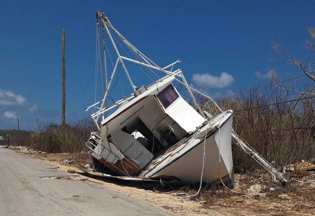
Hurricane Joaquin was the dominant event this fall in The Bahamas. The brutal, slow-moving hurricane suddenly went from a category ...
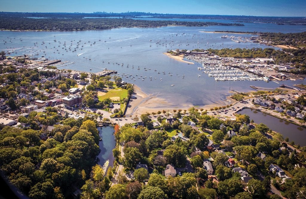
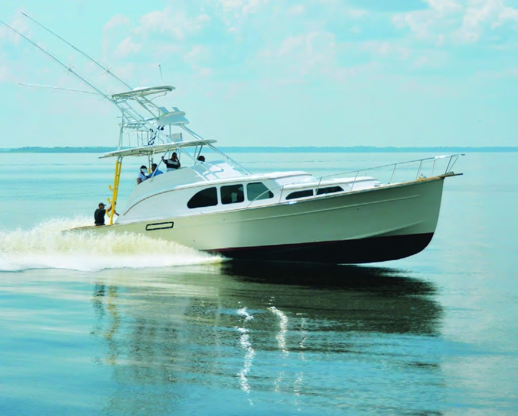
GOING GATSBY This Long Island, New York, stopover is a must for summertime cruisers exploring the Northeast. If you’re cruising ...


1591 E. Atlantic Blvd, 2nd Floor
Pompano Beach, FL 33060
Office: +1 (954) 522-5515
Contact us: info@southernboating.com