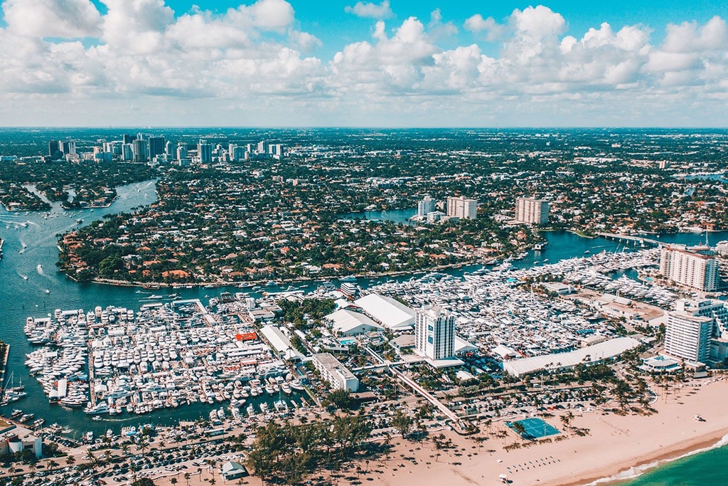
Long Island, The Bahamas
Just look at the Chart and you will know where the name came from. It may not be very imaginative, ...
Just look at the Chart and you will know where the name came from. It may not be very imaginative, ...
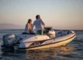
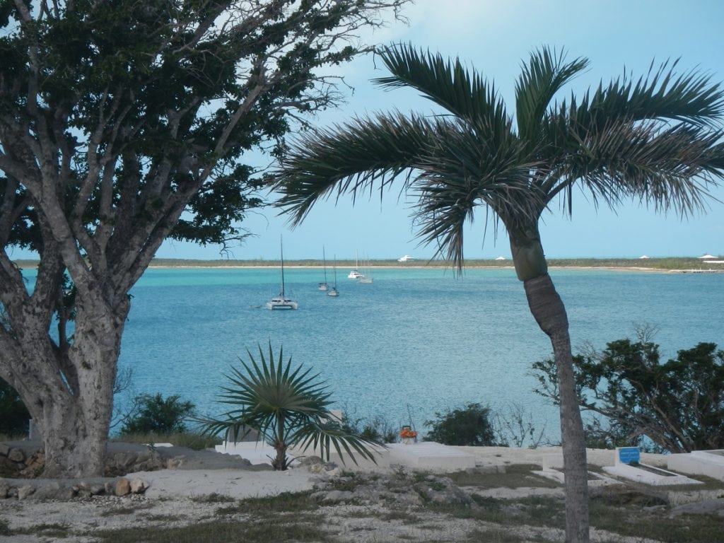
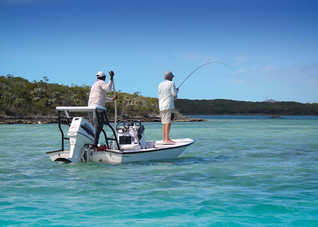
George Town is perhaps the most recognizable destination for cruisers venturing into the Exuma Cays. Located on the western shore ...
There are two full-service outboard shops in George Town: Minns Water Sports and Brown’s Marine. Minns is a Yamaha dealer ...
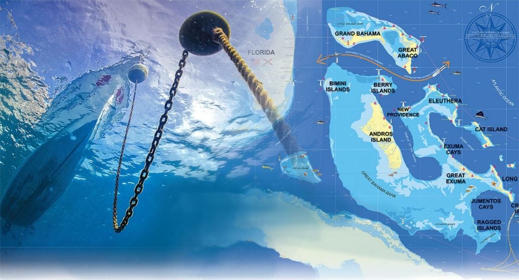
An experienced couple shares their favored routes and their tips for anchoring in the Bahamas. No matter how many times ...
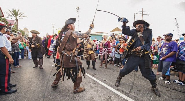
Sailing rallies, swashbuckling fun and superyachts It’s easy to cruise to the Caribbean this fall. Just join a rally! Cast ...

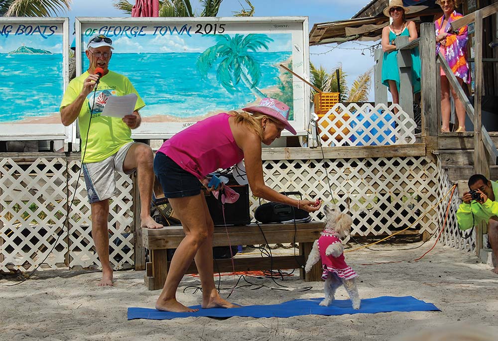
George Town on Great Exuma is surely the most popular destination in The Bahamas with well over 300 boats in ...

1591 E. Atlantic Blvd, 2nd Floor
Pompano Beach, FL 33060
Office: +1 (954) 522-5515
Contact us: info@southernboating.com