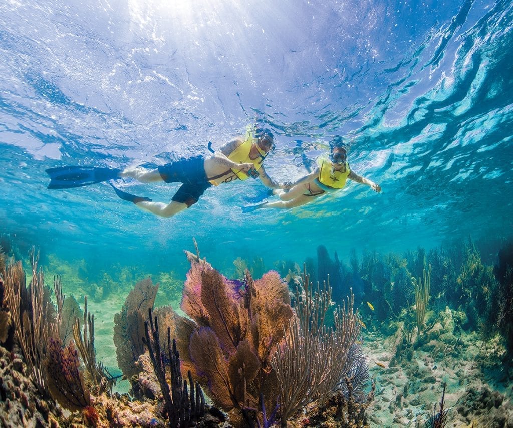
National Marine Sanctuaries
National Marine Sanctuaries NMS's preserve our underwater treasures In October 1972, Congress passed the Marine Protection, Research and Sanctuaries Act. ...
National Marine Sanctuaries NMS's preserve our underwater treasures In October 1972, Congress passed the Marine Protection, Research and Sanctuaries Act. ...
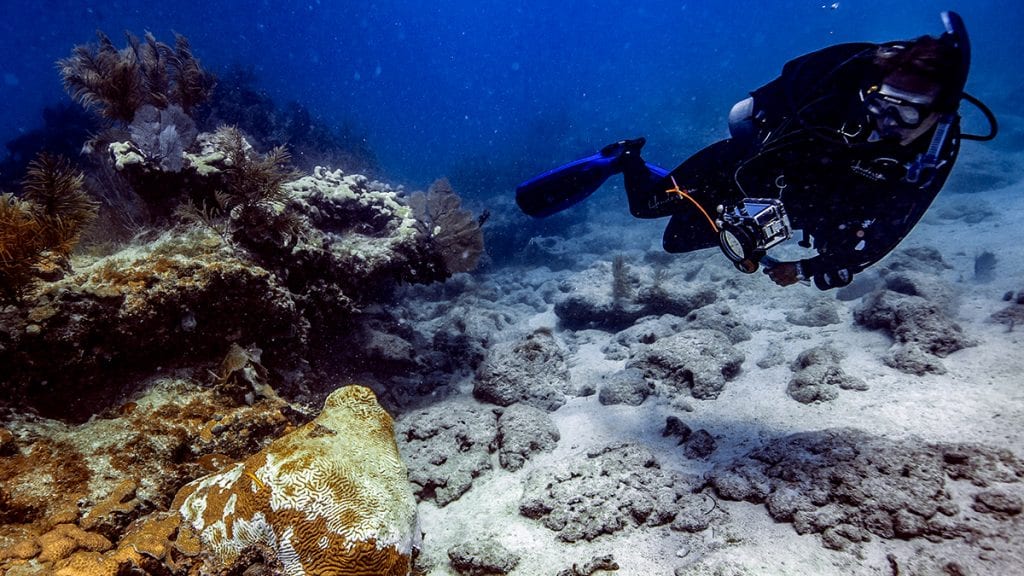
What is stony coral tissue loss disease? And more important, how do we stop it? In September 2014, researchers noticed ...
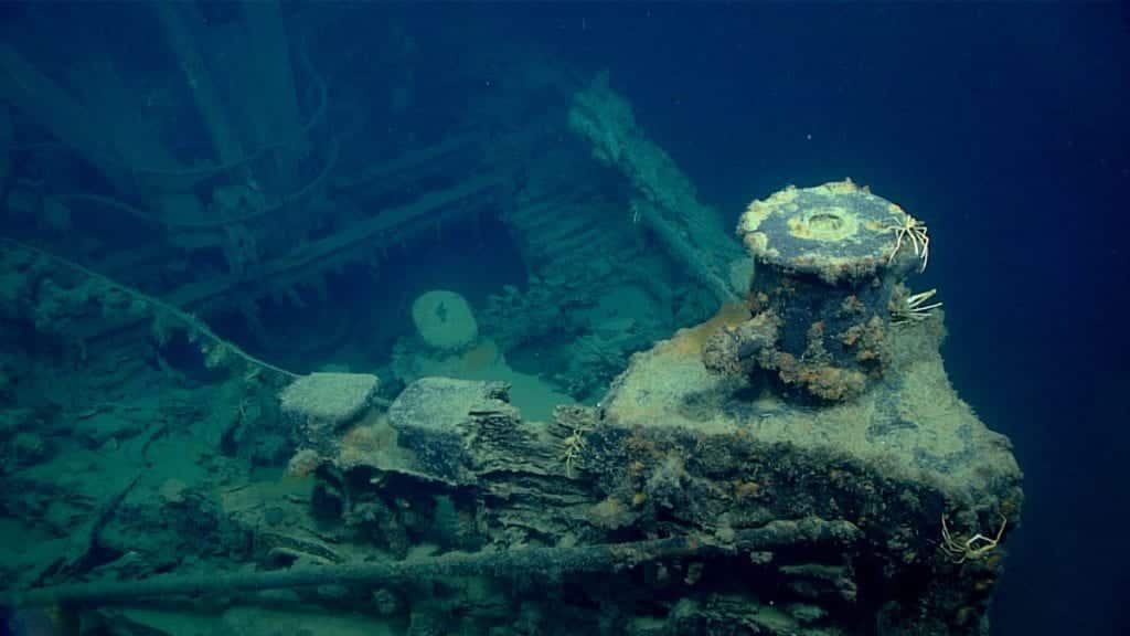
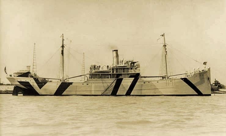
New Hope Found For more than 55 years, the tug New Hope was presumed lost. Now, New Hope is found, ...
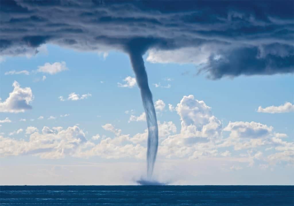
What do you know about waterspouts? A mesmerizing vortex that spins down from a cloud to the surface of the ocean ...
Humans can't hear underwater sound in the same way that whales or other creatures can. Sound is an integral part ...
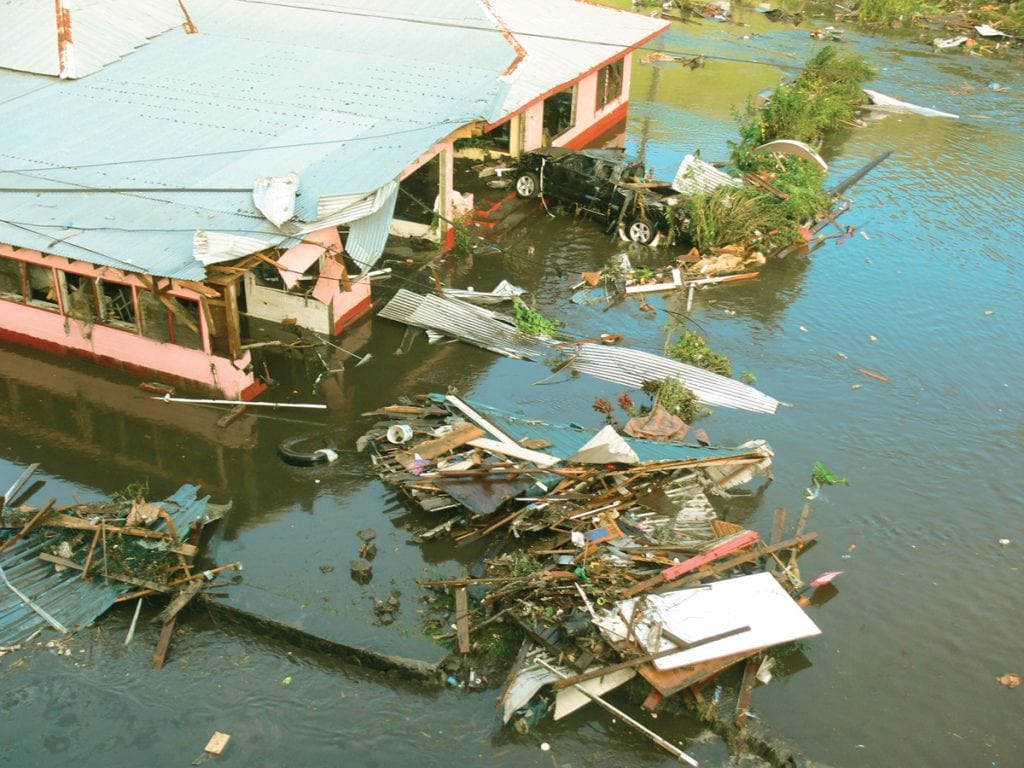
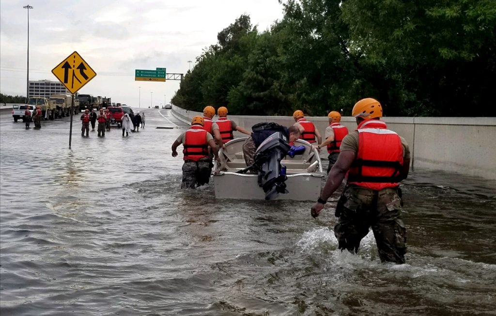
Due to its sheer magnitude and velocity, the tsunami is one of the most destructive forces in nature. From the ...
Put a Spin on It! Eddies in the Ocean effect more than just the water. For many years, oceanic circulations ...

It is estimated that 95 percent of the earth’s oceans remain unexplored. No wonder since the ocean covers 140 million ...
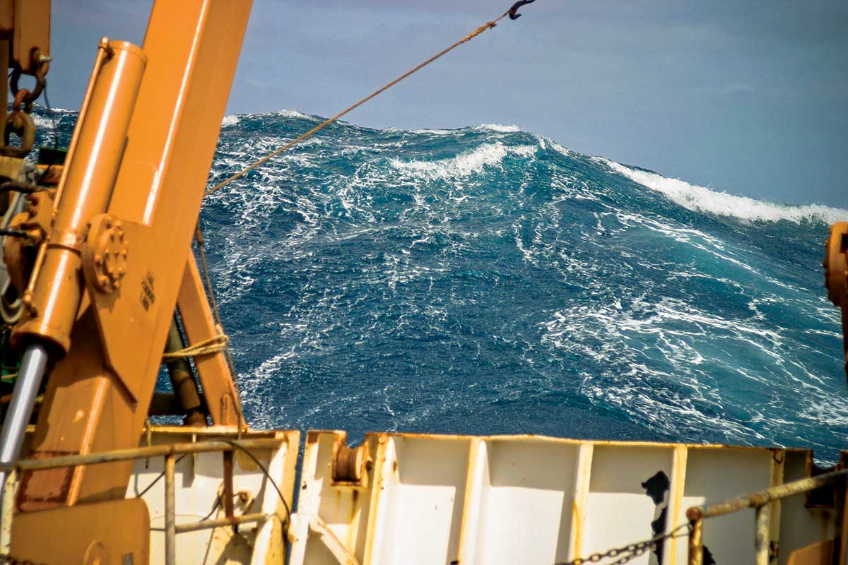
Scientists have yet to determine how to forecast where and when rogue waves will strike. The 1972 blockbuster movie The Poseidon ...
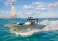
Check the forecast with marine-centered apps before casting off. Every cruiser should know to check the weather before leaving the dock. ...
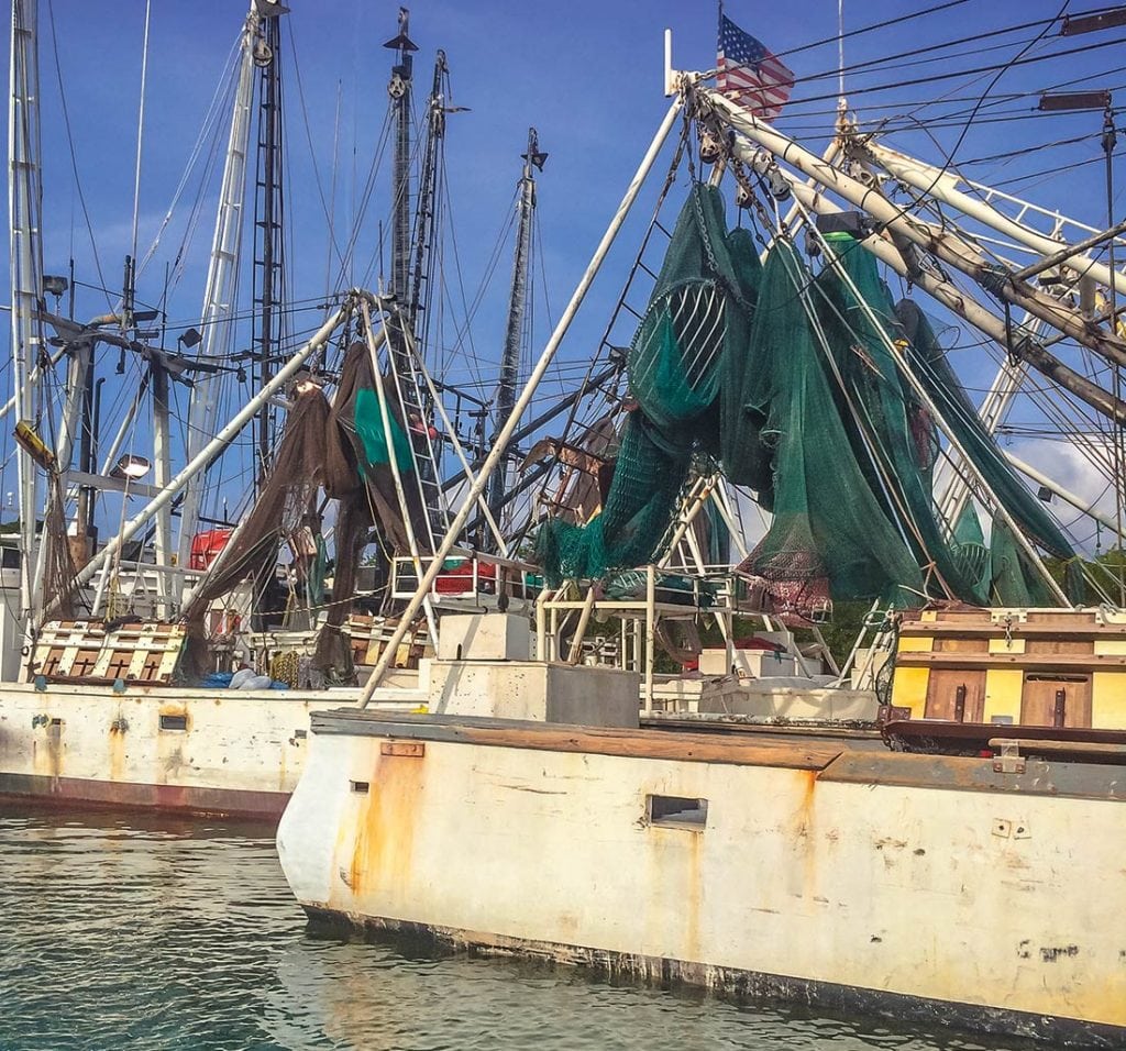
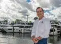
Anglers in Texas are unleashing their creativity when it comes to getting around shortening seasons and shrinking quotas for red ...
Boating tragedies in Florida’s waters prompted Governor Rick Scott to write a letter to the state constituents supporting proposed boating ...
With support from the state of Maryland, NOAA has declared its intent to designate Mallows Bay as a National Marine ...
The Gulf of Mexico is a true tropical sea and one of the deepest bodies of water in the world. ...
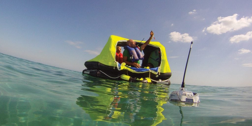
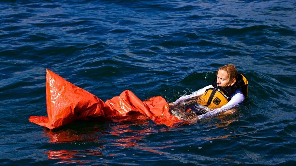
The devices that take the “search” out of search and rescue The primary purpose of any emergency signaling device is ...


1591 E. Atlantic Blvd, 2nd Floor
Pompano Beach, FL 33060
Office: +1 (954) 522-5515
Contact us: info@southernboating.com