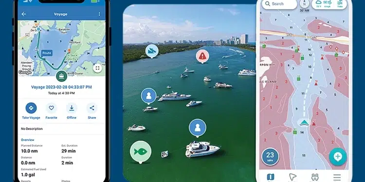
New smartphone apps make navigation portable.
Today’s navigation apps for boaters make smartphones an even more powerful aid for captains. By tapping into GPS and NOAA weather data, these apps can stand alone or act as a backup navigational tool.
Mobile applications (apps) are built to follow changing waterway conditions as quickly as possible. Automated data pipelines deliver updated charts as soon as they become available. In addition, apps gather information from reliable sources, such as the Waterway Guide in the United States.
Chart Your Course: Top Smartphone Navigation Apps for Boaters
Argo
“One of the most dangerous boaters on the water is one who ‘just goes’ without a thought for planning or even routing,” explains David Rowe, a user of the Argo navigational app. “I’m not talking about the person who has been boating the same fifty square miles of water since they were a tot, but the boater who is plying unfamiliar waters without knowing the local dangers, including avoiding known obstacles and staying out of exclusion zones.”
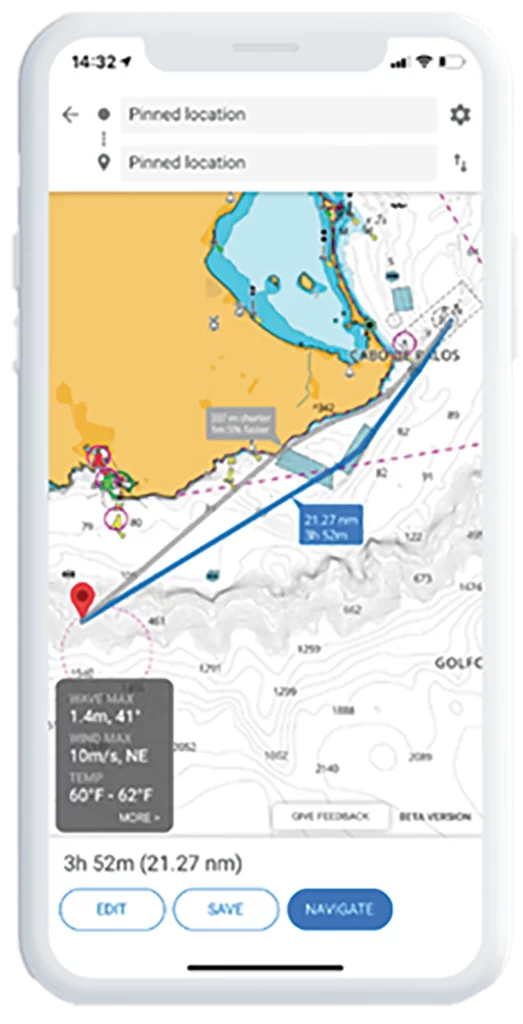
Argo’s auto-routing feature does this quickly, allowing a boater to plot a course of hundreds of miles in seconds. The recommended course is based on vessel draft and the shortest, safest distance. This provides the boater with peace of mind to easily navigate where they want to go without risk or worry.
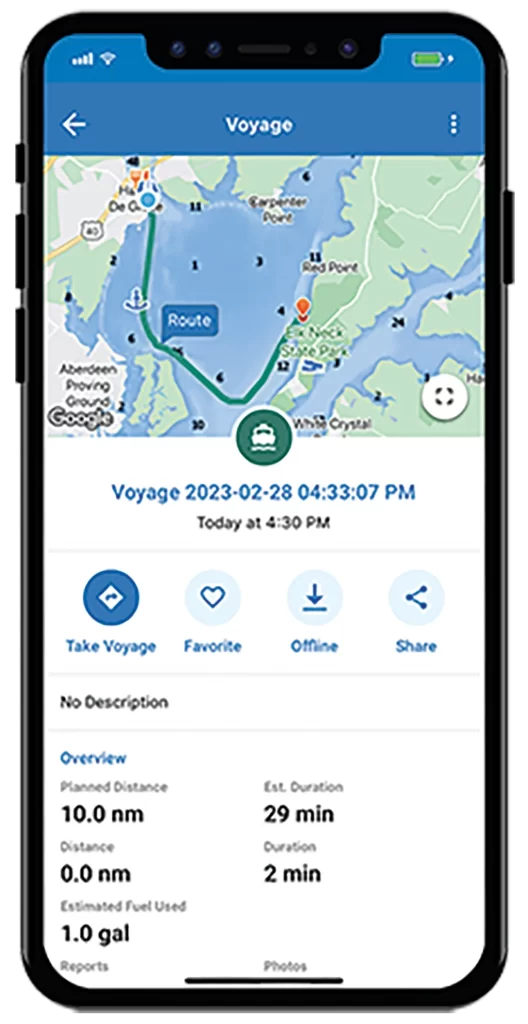
savvy navvy
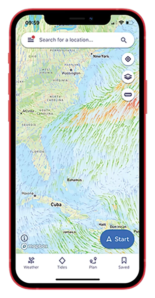
“Our user feedback and anonymous GPS tracking helps to see the real picture of conditions on the water and allows us to make the necessary changes to the charts,” says Misha Vysokovskiy, head of product for savvy navvy, who noted that version two of the app just launched. “One way savvy navvy utilizes cutting-edge technology is through satellite imagery and tidal flow modeling. It provides users with information on water currents and tides and allows us to predict changes in water depth and flow, which can be crucial information for boaters navigating shallow waters or areas with strong currents.”
Wavve Boating
The portability and convenience of a boating app makes marine navigation accessible even when owners are away from their boat or on a different vessel, such as a tender. However, while smartphones are getting larger and more resistant to impact and water, multifunction displays (MFDs) still have the advantage of better visibility in high light conditions. Some MFDs also connect with other onboard systems like radar, sonar, and engine data.
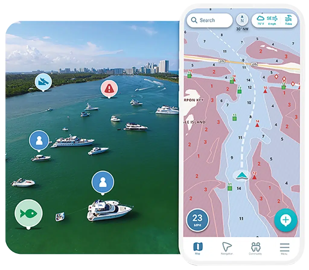
“What we’re most excited about at Wavve Boating is the blend between these two technologies, where navigation apps interface with a vessel’s MFD,” said Adam Allore, Wavve Boating founder and CEO. “Bombardier Recreational Products brought to market an integration between a rider’s phone and their in-vehicle display with the 2021 GTX 300 SeaDoo. As a result, Wavve Boating is currently integrated and available on several SeaDoo models via a connected LCD display.”
Get More Electronic Trends Via Our Weekly Newsletter
C-MAP
While an MFD stays on board, you do not. Apps are always with you on your phone or tablet and on every boat, offering convenience and accessibility.
“We know that boaters all have different preferences; however, market data tells us that the vast majority of boaters in larger (forty-foot plus) vessels are using a range of technology on board,” says Tracy Cox, global brand manager for C-MAP. “The C-MAP app carries the latest chart updates as well as frequent feature updates. It’s designed to be a stand-alone solution to safe navigation. Boaters with an MFD on board can also benefit from the latest C-MAP charts, as all chart sales include twelve months of free updates.”
TZ iBoat
Some of the opportunities on the horizon for navigational apps include additional map layers, auto-routing improvements, enhanced community features, and more vessel integrations.
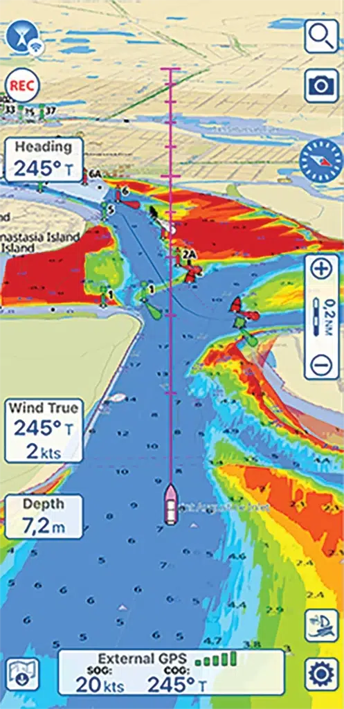
“You can add important layers like depth shading,” explains Iker Pryszo, product manager for TZ iBoat. “You can customize the colors and shading, and we use very accurate surveys from NOAA to render what you see. So if you are fishing, it is a very good feature, and you can adjust it to see even more contours.”
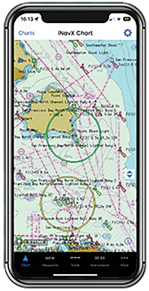
iNavX
Boat manufacturers are focusing on electrification and automation right now, creating new opportunities for interconnectivity between smartphones and vessels.
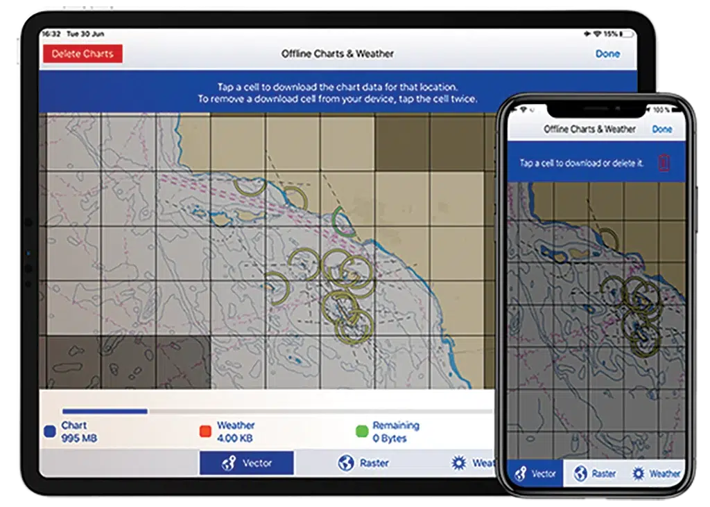
“As my grandfather taught me, always have a backup,” says Shaun Steingold of iNavX. “Even if you primarily rely on an MFD for navigation, having a backup navigation app like iNavX is a smart move. It provides an extra layer of security and ensures you have a reliable backup in case of technical issues or emergencies.”
Aqua Map
Like many programs developed for phones, navigation apps for boaters can be much less expensive than larger scale electronics.
“Cost-effectiveness is another benefit of mobile apps,” says Pietro Ferri, marketing and communication at Aqua Map. “MFDs can be expensive, requiring professional installation and interfacing. In contrast, Aqua Map and similar applications offer a more convenient solution, even considering the cost of a dedicated mobile device and accessories.”
Most apps are available for free with limited features and offer premium services with subscriptions averaging between $20 and $45 annually.
-by Doug Thompson


