Cruisers appreciate the landscape of Georgia’s coast just as much as its waterways. It’s all about the curves. So said a friend, an admirer of the human body. Congruent with our habit of referring to “bodies” of water, this phrase describes 185 miles of the ICW well. With creeks, rivers, and multiple inlets and sounds, this stretch of the Intracoastal Waterway (ICW) from northern Florida to South Carolina is a doozy for variety. In Georgia, almost 100 miles appear lightly touched by civilization. Only four barrier islands of the eight large groups connect to the mainland via bridges, limiting development. Georgia’s 368,000 acres of protected marshland represent one third of all East Coast marsh.
Sometimes you hug those curves, and other times you swing wide and kiss the far shore. Straight canals and cuts, common in some ICW stretches, are almost nonexistent. This section calls out muses for tides, currents, and mean low water. Vast stretches of verdant marsh spread up to six miles wide in this nighttime dark zone, where the stars will take your breath away. However, this route includes two vibrant, southern cities: Savannah, Georgia, and Beaufort, South Carolina (pronounced BEWFORT). Along the way are memorable coastal towns such as Fernandina Beach, Florida, oozing charm, historic islands, and shiny new resorts. Nestled off the channel, remote anchorages beckon you nearly every night.
Also Read
Sport Express Cruiser Buyers’ Guide: 22 Standout Boats Going Into 2026
Performance and power come together in 22 versatile vessels. Quick Facts Coverage: 22 sport express cruisers across cats, CCs, jets,...
Cumberland Island National Seashore, Jekyll Island State Park, and Skidaway State Park are all accessible to anchorages and provide ample adventuring. Skidaway is adjacent to Moon River, inspiration for the 1961 song.
Choosing to stay inshore instead of heading offshore best suits vessels with draft below seven feet. This choice jibes well with unstable weather, owning a dog, and appreciation of the landscape. Cruisers who like to sightsee, appreciate history, lack comfort in offshore conditions, and have time will savor this voyage. Easily run in three to five days, this section is a gem with many facets.
Tracing this slow, sinewy waterway reveals a treasured part of America’s coastline and enhances deeper understanding of our history. All the peoples of the Americas left marks of their successes, struggles, tragedies, and contributions to this land. From the Industrial Revolution barons constructing vacation palaces on Jekyll Island to Spanish ruins on Sapelo Island to the Native American tribe led by a female warrior on what later was named Cumberland Island, they all marked a spot. Additionally, several islands, including Daufuskie, are home to Gullah Geechee communities. This rich cultural heritage spans language, arts and music, spirituality, and cuisine.
Subscribe Here For More Boating Content
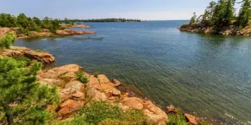
In between lie acres of spartina, languorous cypress trees dripping with Spanish moss, endless marshes, and maritime forests inhabited by armadillos, herons, ibis, pelicans, loggerhead turtles, and alligators.
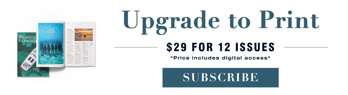
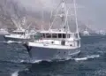
This stretch requires situational awareness, astute navigation, and planning. Well-prepared cruisers use their chartplotter, tide charts, binoculars, depth finder, automatic identification system (AIS), and even a compass. Autopilot takes a rest as the unspooling of loopy stretches keeps you on your toes—as does knowing exactly how to time your way through some of the notoriously shallow spots like Little Mud River (MM 653), Hells Gate (MM 601), Buttermilk Sound (MM 662), and Fields Cut (MM 575).
While many segments are remote, some sections can be heavily trafficked by recreational and commercial traffic. Binoculars are critical. Looking around the bend via radar or AIS can help prevent running head on into a dredge, or tug and barge at a 120-degree turn. Slow down, contact commercial vessels on channel 13 or 9, and determine safe passage for you and the barge or naval vessel.
Anticipate arrival times at bridges or shallow spots through use of route setting; or even 60D=ST. Some bridges open on demand (monitoring channel 9), but many are timed. And some stretches of water are likely unpassable at dead low water if you draw over five feet. Aim on arriving at those on a rising tide rather than a falling tide. One crew with me said their favorite part of a day was anchoring for lunch and a nap as we waited for two more feet of water before advancing through an anorexic passage.
Numerous rivers slice through Georgia’s relatively short coastal region: the Savannah, Ogeechee, Altamaha, and St. Mary’s all experience tidal flow far inland, and, lacking dams, many are navigable far inland. Look before you leap across the Savannah River as freighters move fast. While you may see them rising above the marsh grass, hail them on VHF to discuss your intentions.
Food, Culture, Music
Seasoned cruisers extol stops in Savannah, either staying at the Isle of Hope (MM 589), Thunderbolt (MM 583), or going eight miles up the Savannah River. The Historic District is the largest urban National Landmark in the country. Founded in 1733, Savannah was designed by urban planner James Edward Oglethorpe who valued green space and public squares. Both Savannah and Beaufort, South Carolina, offer museums, tours, enticing restaurants, horse-drawn carriage rides, and festivals.
Slow down to enjoy resting, provisioning, and hanging out in Brunswick, St. Simons, Isle of Hope (all in Georgia), or Beaufort. Each provides walkable or bikeable access to architecture, quaint neighborhoods, shopping, shrimp, and fish caught daily, quirky museums, and historic sites. Great marina options dot this section. While boatyards are infrequent, Thunderbolt boasts three yards. In Brunswick, Two Way Marina and Fish Camp offers transient dockage, repairs, and opportunity for owner-directed repairs.
Also Read:
Mission Accomplished …. And the 100-foot Boat Slip
From backyard shed to industry benchmark: In the fall of 2021, my client, a retired physician from Ponte...
Numerous anchorages provide privacy and abundant natural beauty. Cruising guides offer details, as some are pet-friendly (minus the gators), and some are incredibly secluded. Pay close attention to expected tidal swings at any anchorage. Tidal range and current may require at least 20 feet extra scope. Fernandina Beach, Florida, and Beaufort offer moorings.
Additional preparations for a successful trip include window screens and ways to ventilate your vessel that deny entry to mosquitoes and horseflies. While insects are not always a problem, have heavy-duty bug spray available. At least one cruiser invested in a full net suit, which doubled as a Halloween costume. The best times for this journey depend on whether you are heading north or south. January, February, July, and August will probably be the least comfortable months.
Any given day of this trip, the curves await your touch. Bald eagles soar overhead, dolphins surf your bow, pelicans dip, egrets punch the shoreline for lunch, and a gator might give a lazy wink. The next bend beckons, while memories linger of a rare and unspoiled coastal experience.
By Maria Brown


