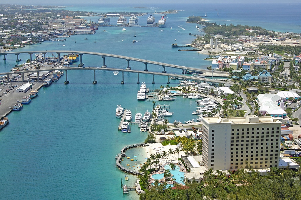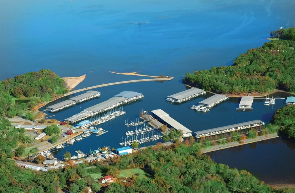
Great Loop Waterways
Great Loop Waterways If you’re in the midst of planning your own Great Loop adventure, take note of these river-lakes on or ...
Great Loop Waterways If you’re in the midst of planning your own Great Loop adventure, take note of these river-lakes on or ...

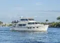
For a change of scenery, tow your boat to inland lakes and rivers. Most of our cruising destination articles are focused ...


1591 E. Atlantic Blvd, 2nd Floor
Pompano Beach, FL 33060
Office: +1 (954) 522-5515
Contact us: info@southernboating.com