Deepwater Horizon: Eight Years Later
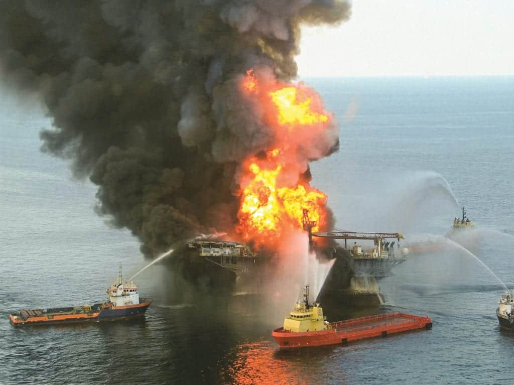
Has the Gulf of Mexico recovered from the Deepwater Horizon disaster? The Deepwater Horizon oil rig, located 42 miles off ...
Has the Gulf of Mexico recovered from the Deepwater Horizon disaster? The Deepwater Horizon oil rig, located 42 miles off ...
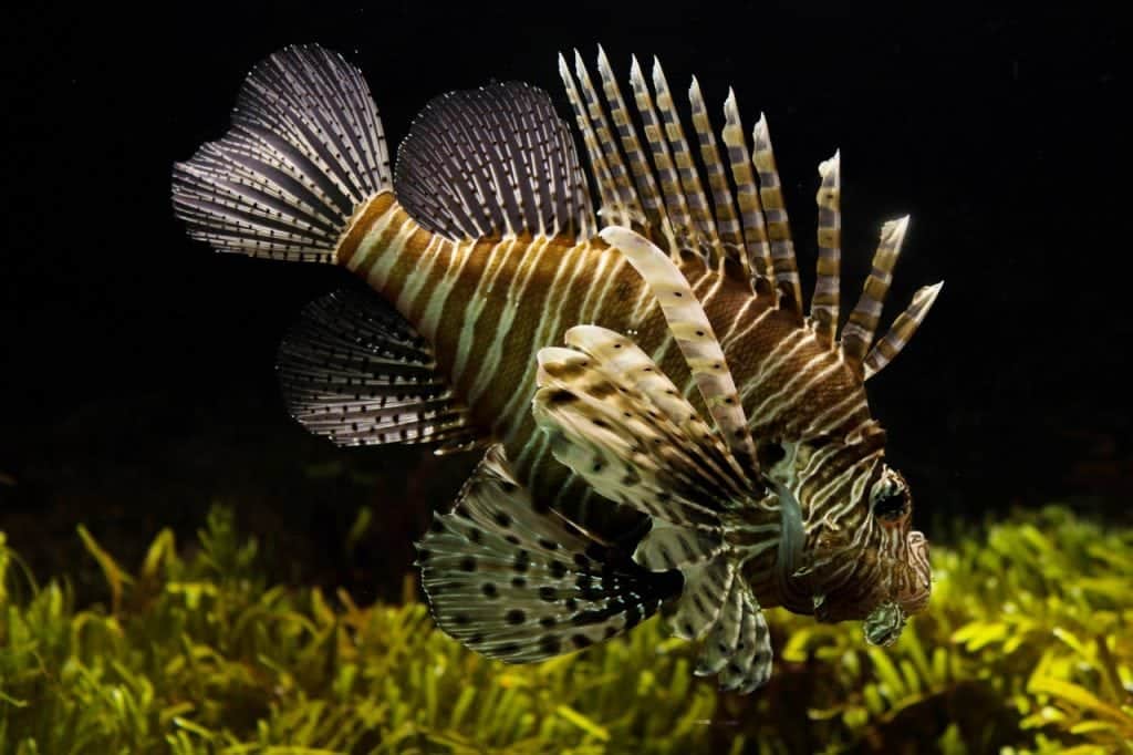
Lionfish: Eat 'em to Beat 'em Lionfish don't belong here. Their natural domain is in the South Pacific and Indian ...
Seagrass Struggling to Revive Massive seagrass beds in Western Australia’s Shark Bay—a UNESCO World Heritage Site—haven’t recovered much from the ...
The International SeaKeepers Society will host SeaKeepers Bermuda 2017 on Thursday, June 22nd at the Bermuda Underwater Exploration Institute (BUEI) ...
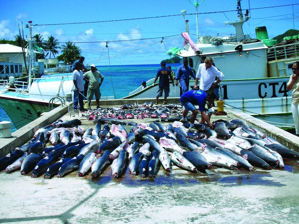
Private citizens now have the means to take action against illegal fishing. Our oceans are under siege from a variety ...

It is estimated that 95 percent of the earth’s oceans remain unexplored. No wonder since the ocean covers 140 million ...
Executive Director of the Snook & Gamefish Foundation, Brett Fitzgerald, explains the concept of Ales for Anglers and shares easy ...


1591 E. Atlantic Blvd, 2nd Floor
Pompano Beach, FL 33060
Office: +1 (954) 522-5515
Contact us: info@southernboating.com