
Sea Watch
The state of our oceans, rivers and lakes. Southern Boating cares deeply about preserving the environment and the oceans we enjoy so much. Sea Watch has updates on reefs, national parks, conservation, climate and more.

Exploring the Unexplored Oceans
It is estimated that 95 percent of the earth’s oceans remain unexplored. No wonder since the ocean covers 140 million...
Read moreDetails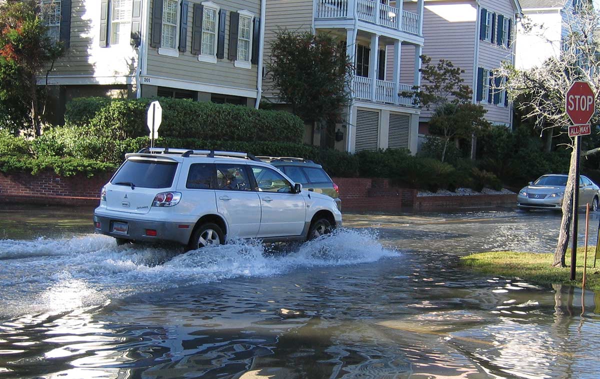
Sea Levels Rise
Sea levels are rising across the globe, leading to increased concern for the safety of coastal communities and wildlife populations....
Read moreDetails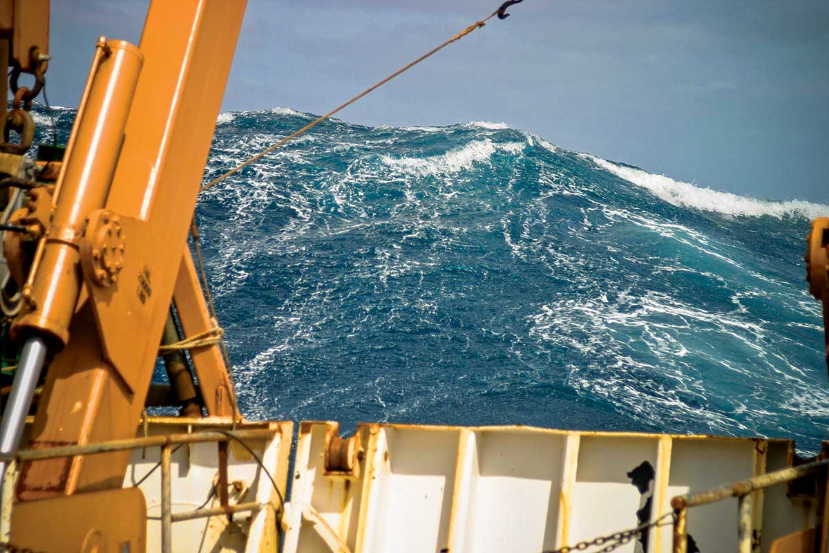
Watch Out– Rogue Waves Ahead!
Scientists have yet to determine how to forecast where and when rogue waves will strike. The 1972 blockbuster movie The Poseidon...
Read moreDetails
Eyes on U: Keep an eye on UMiami’s Marine Biology Programs
With outstanding programs in marine biology, two University of Miami campuses have become focal points for environmental studies. From its...
Read moreDetails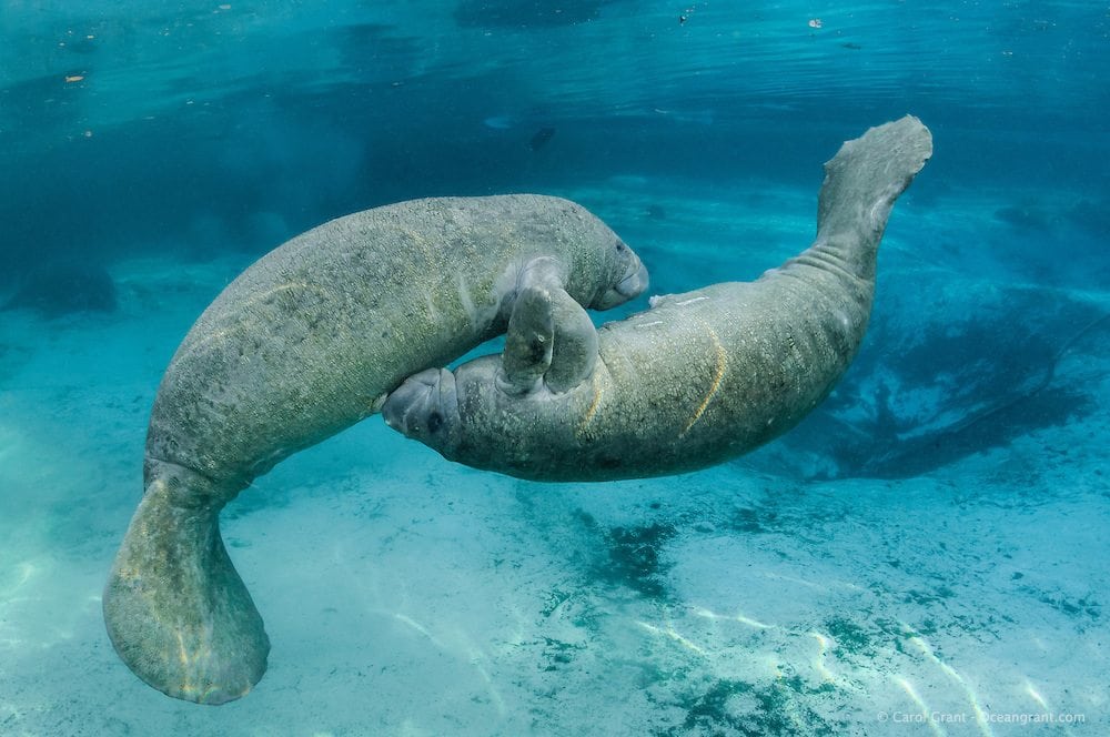
Manatees Return to South Florida’s Waterways
They're baaaaack! Sunday is the official start of manatee season. This means that slow-speed regulations in South Florida’s network of...
Read moreDetails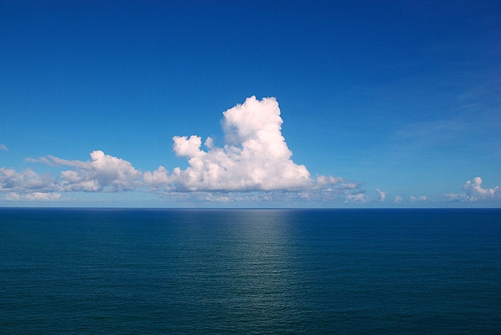
Signs it’s time to head back to shore
Summer brings the perfect conditions for a day out on the water. Whether you’re taking the boat out for a solitary...
Read moreDetails

1591 E. Atlantic Blvd, 2nd Floor
Pompano Beach, FL 33060
Office: +1 (954) 522-5515
Fax: +1 (954) 522-2260
Contact us: info@southernboating.com