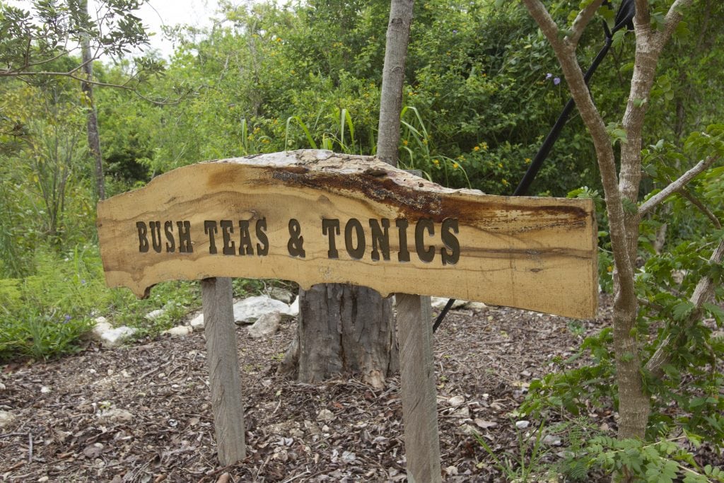
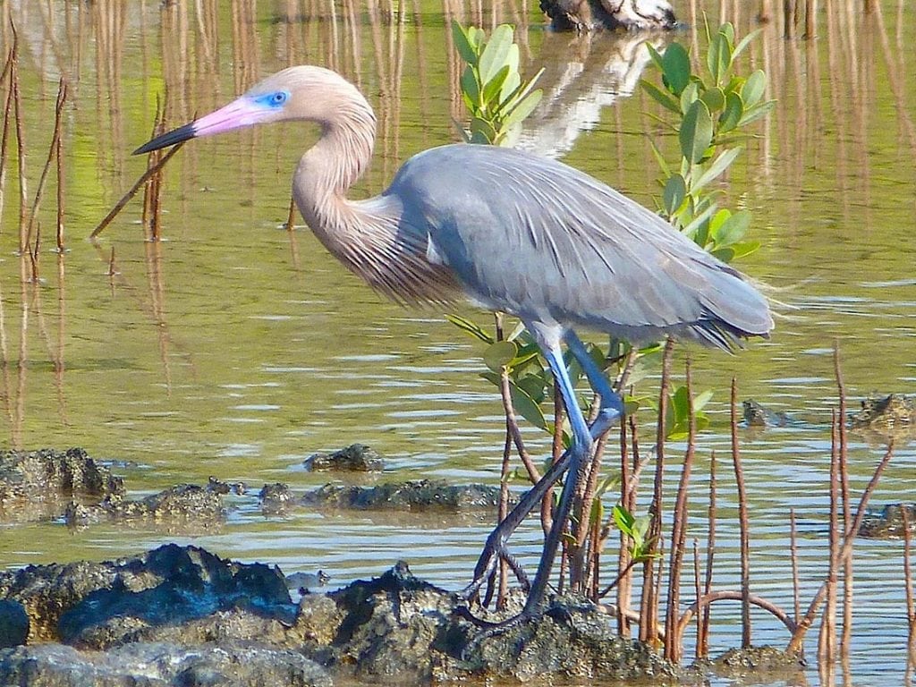
Leon Levy Native Plant Preserve
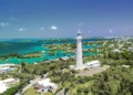
The Bahamas are famous for their crystal-clear waters, but our Bahamas Update writer finds there’s just as much to appreciate ...

The Bahamas are famous for their crystal-clear waters, but our Bahamas Update writer finds there’s just as much to appreciate ...
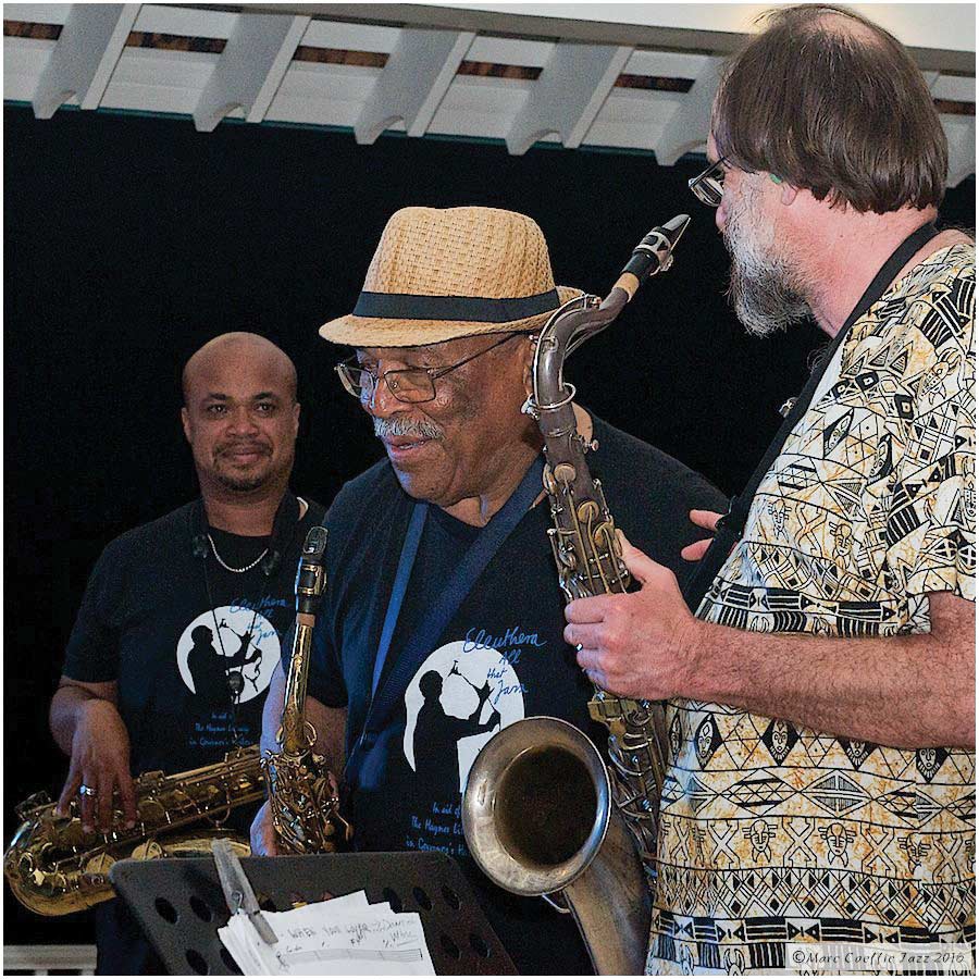
Bahamian Jazz takes center stage this spring. At Governor’s Harbour, Eleuthera, from March 29th to April 2nd, the annual All ...
Long-time resident of Governor’s Harbour Katie Black Frost is the author of Eleuthera, a beautiful work about the island with ...
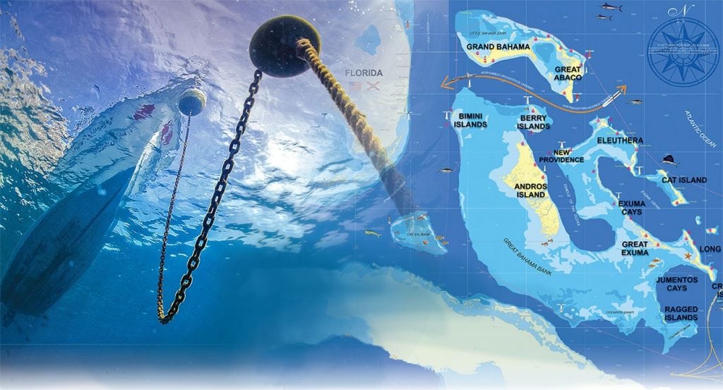
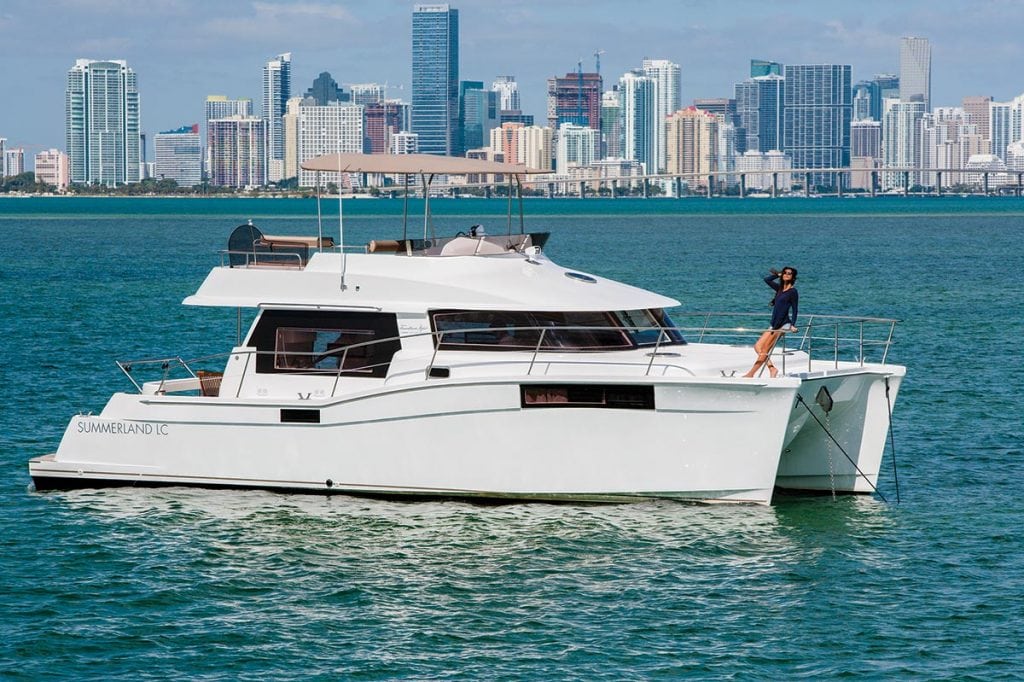
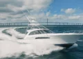
An experienced couple shares their favored routes and their tips for anchoring in the Bahamas. No matter how many times ...

1591 E. Atlantic Blvd, 2nd Floor
Pompano Beach, FL 33060
Office: +1 (954) 522-5515
Fax: +1 (954) 522-2260
Contact us: info@southernboating.com