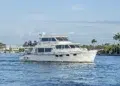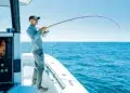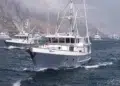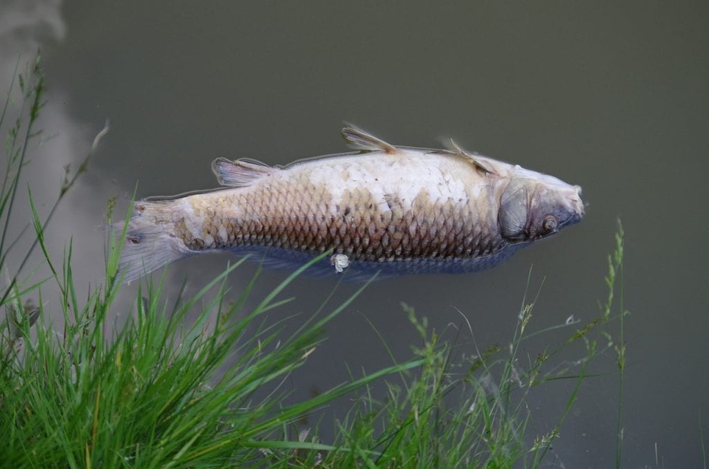
How Will Climate Change Impact Fishing?
How Will Climate Change Impact Fishing? As our waters warm, seas rise and fish move. Climate change impacts fishing below ...
How Will Climate Change Impact Fishing? As our waters warm, seas rise and fish move. Climate change impacts fishing below ...
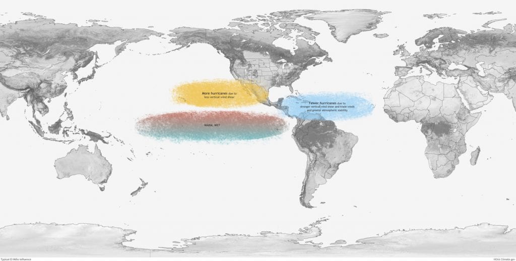
What's the difference between El Niño and La Niña? Long before meteorologists “discovered” the El Niño (EN) phenomenon, fishermen in Chile ...
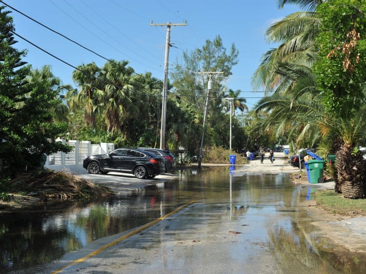
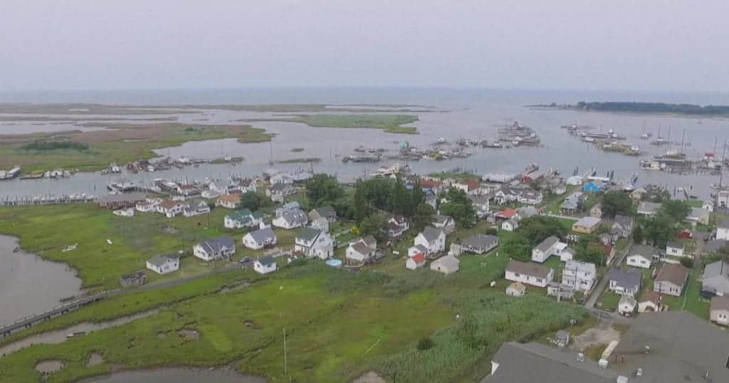
Rising seas are more than a threat. They’re a reality. It’s been a little more than a year since I ...
Tidewater Time Machine Tangier Island is a remote, rustic and beautifully weathered area occupied by seafaring residents who speak a tongue stained with a ...
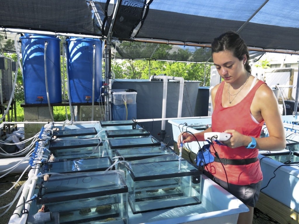
Blackout Black Band Could acidifying oceans actually slow down coral disease? Coral reefs face intensifying struggles as greenhouse gases warm ...
Seagrass Struggling to Revive Massive seagrass beds in Western Australia’s Shark Bay—a UNESCO World Heritage Site—haven’t recovered much from the ...


1591 E. Atlantic Blvd, 2nd Floor
Pompano Beach, FL 33060
Office: +1 (954) 522-5515
Contact us: info@southernboating.com